Type “Sedona airport” into a flight search and something will come up. It’s real — Sedona Airport, code SEZ, perched on top of Airport Mesa right in the middle of town. But before you get excited about a short hop straight into red-rock country, here’s the catch that surprises a lot of first-time visitors: no airline flies there. SEZ handles private planes, scenic helicopter and biplane tours, and general aviation. There is no gate, no baggage claim, no Tuesday-morning flight from Chicago. If you’re coming to Sedona on a commercial ticket, you are landing somewhere else and finishing the trip by road.
That sounds like bad news. It isn’t, really. The “somewhere else” is usually Phoenix Sky Harbor, one of the busiest and best-connected airports in the country, about two hours south. The drive is straightforward, mostly interstate, and the last half hour is genuinely beautiful. A smaller airport in Flagstaff sits closer — about 40 minutes away — and occasionally makes sense. A couple of other airports round out the picture for budget flyers and private pilots. But for the overwhelming majority of people reading this, the answer is simple: fly into Phoenix, rent a car, and drive up.
This guide walks through every realistic way to get here — which airport to choose and why, whether you actually need a rental car (short version: yes), what the drive in is really like from both directions, how winter changes the math, and what to do on arrival day so you’re not making a second trip out for groceries. We’ll be honest about the tradeoffs, because the “closest” airport isn’t always the right one, and the cheapest flight sometimes costs you three hours you didn’t budget.
What Sedona Airport actually is
Sedona Airport (SEZ) is a real, working airport — just not one you can buy an airline ticket to. It sits on top of Airport Mesa, a flat-topped butte that rises right out of the middle of town, which makes for a dramatic single runway with red rock falling away on both sides. What lands there: private aircraft, charter flights, flight schools, and the scenic-tour operators that run helicopter and vintage-biplane flights over the rocks. What doesn’t land there: Southwest, American, Delta, United, or any other scheduled carrier. There’s no commercial service, and given the size and elevation of the mesa, there won’t be.
So if a booking site ever offers you a “flight to Sedona (SEZ),” read the fine print. It’s either a private charter or a routing that connects you to a bigger airport and puts you in a car or shuttle for the last leg.
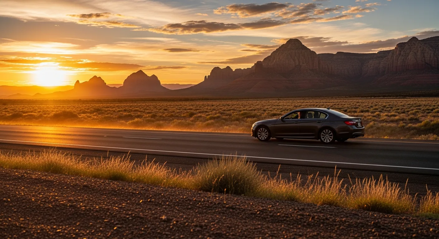
Here’s the bonus, though, and it’s a good one. Airport Mesa is one of the best sunset spots in Sedona. The Airport Mesa overlook — a parking area partway up the mesa road, separate from the airport terminal — gives you a wide, elevated view over the whole town and the major formations, and it’s a classic place to watch the rocks light up at the end of the day. You don’t need to be flying anywhere to go. It’s worth putting on your list for an early evening once you’ve settled in; our roundup of the best sunset spots in Sedona covers it along with a few less-crowded alternatives. The airport you can’t fly into turns out to be one of the better places to end a day.
Phoenix Sky Harbor (PHX): the right call for most people
For most visitors, the decision is already made: you’re flying into Phoenix Sky Harbor International Airport. It’s Arizona’s primary hub, one of the busiest airports in the United States, and it has what the smaller options don’t — a deep bench of airlines, a long list of nonstop routes to cities across North America, and enough competition on those routes to keep fares reasonable. If you’re flying from most US cities, your cheapest and simplest itinerary almost certainly lands at PHX.
Sky Harbor is about 120 miles south of Sedona, which works out to roughly a two-hour drive without stops. That’s the number to plan around. It can stretch longer if you hit Phoenix rush hour on the way out of the city or stop for lunch, and it can feel shorter than two hours because the scenery does a lot of the work in the back half. But budget two hours door to door, plus however long it takes you to get your bags and your rental car.
Why PHX usually wins:
- The most flights. More airlines and more nonstops mean you’re far more likely to find a direct flight, a convenient departure time, and a seat that doesn’t require a connection. For a trip where everyone’s flying in from different cities, PHX is the one airport where the schedules actually line up.
- The best fares, usually. Competition drives prices down. Fares to Phoenix are typically lower than fares to Flagstaff for the same trip, sometimes by a wide margin. Fares change constantly, so check both — but don’t be surprised when Phoenix wins.
- The most rental cars. Every major rental company operates at Sky Harbor, out of a single consolidated rental center connected to the terminals by a short train. More inventory means better prices and more choice, which matters when you want an SUV for a group or something with decent clearance for forest roads.
- The easiest logistics for groups. If your people are arriving on different flights, it’s far easier to have everyone converge at one big, well-signed airport, grab one or two rental vehicles, and caravan up together — pulling into a single house that sleeps eight, with parking for the whole crew. If that’s your trip, check dates.
The drive itself is the trade you make for all that convenience, and it’s a fair one. You head north out of the Phoenix metro on Interstate 17, climb out of the low desert into higher, greener country, and exit onto State Route 179 for the last stretch into the Village of Oak Creek and Sedona proper. That final section on 179 is a designated scenic road, and it earns the label. We describe the whole drive in detail below, but the short version is that the “long” airport option comes with the prettiest arrival.
Some visitors build a night in Phoenix into either end of the trip. If that’s you, our Phoenix getaway guide covers where to stay and what’s worth doing in the city before you point the car north.
Flagstaff Pulliam (FLG): closer, but with catches
Flagstaff Pulliam Airport (FLG) is the closest commercial airport to Sedona — only about 25 miles away, or roughly a 40-minute drive north. On a map, that looks like the obvious winner. In practice, it’s the right choice only some of the time, and it’s worth understanding why before you book.
The catches are real:
- Very limited service. Flagstaff is a small regional airport with a handful of daily flights. Service is regional and tends to connect through a larger hub — commonly Phoenix or Dallas — rather than offering the nonstops you’d get flying into Sky Harbor directly. That means more connections, more chances for a delay to cascade, and fewer departure times to choose from.
- Higher fares, usually. Thin schedules and little competition push prices up. It’s common for a flight into Flagstaff to cost noticeably more than the same trip into Phoenix, even though Flagstaff is closer. As always, check both for your specific dates — but go in expecting Phoenix to be the cheaper ticket.
- The canyon drive can be slow. The 40-minute figure assumes good conditions. The most scenic route from Flagstaff drops down State Route 89A through Oak Creek Canyon, a tight, winding descent that is spectacular and genuinely slow. You’ll be behind other drivers braking for the views, and in winter the road can be icy or, occasionally, closed. More on that in the weather section.
So when is Flagstaff worth it? When a convenient flight actually lines up. If you’re connecting through Phoenix anyway and the onward hop to Flagstaff is cheap and well-timed, taking it saves you most of the two-hour drive and delivers you to Sedona in about 40 minutes. If you value arriving fast over saving money, and the schedule cooperates, FLG is a legitimately good option. The mistake is assuming that “closest” automatically means “best” and booking Flagstaff without comparing — you can end up paying more for a flight with an extra connection that lands late, then facing a dark, slow canyon descent to finish the trip.
One more point in Flagstaff’s favor for a specific kind of traveler: if your itinerary includes the Grand Canyon or the northern Arizona high country, Flagstaff is a more natural base to start from — our Flagstaff getaway guide covers the town — and flying in there can make sense as part of a bigger loop.
The other two: Mesa Gateway and Prescott
Two more airports occasionally enter the conversation, and both are niche.
Phoenix-Mesa Gateway (AZA) sits on the far east side of the Phoenix metro and is served mainly by budget and leisure carriers — Allegiant is the name you’ll see most. If you’re flying from a smaller city that Allegiant connects to Mesa, the fare can be very cheap, and that’s the whole appeal. The tradeoffs: far fewer destinations than Sky Harbor, less frequent service (some routes run only a few days a week), and a longer drive to Sedona, roughly two and a half hours, because Mesa is on the opposite side of the metro from the I-17 on-ramp you want. If a Gateway flight saves you real money and fits your schedule, take it. Just know you’re adding time to the drive and betting on a thinner schedule.
Prescott Regional Airport (PRC) is a small airport about an hour and a half southwest of Sedona, with very limited commercial service. It’s on this list for completeness. Unless you happen to find a rare flight that fits and you’re not comparing it against anything better, it won’t be your answer. Most travelers can safely skip it.
For nearly everyone, the real decision is Phoenix Sky Harbor versus Flagstaff, with Mesa Gateway as a budget wildcard if the price is right.
The airports compared
Here’s the whole picture in one place. Distances and drive times are approximate and assume normal conditions; fares and schedules change constantly, so treat the flight column as a general pattern, not a promise.
| Airport | Distance / drive to Sedona | Flights & fares | Best for |
|---|---|---|---|
| Phoenix Sky Harbor (PHX) | ~120 mi / ~2 hrs (I-17 + SR 179) | Most airlines, most nonstops, usually the lowest fares | Almost everyone — the default choice |
| Flagstaff Pulliam (FLG) | ~25 mi / ~40 min (SR 89A through the canyon) | Limited regional service, often connecting; fares usually higher | Arriving fast when a convenient flight lines up |
| Phoenix-Mesa Gateway (AZA) | ~2.5 hrs (east side of metro) | Budget/leisure carriers (e.g., Allegiant); few destinations | A cheap fare from a city Allegiant serves |
| Prescott (PRC) | ~1.5 hrs southwest | Very limited service | Rare cases; most travelers skip it |
| Sedona (SEZ) | In town (on Airport Mesa) | No commercial service — private & scenic flights only | Private pilots, scenic tours (and sunsets) |
The pattern is consistent: Phoenix Sky Harbor trades a two-hour drive for the best flights and fares, and that trade is worth it for most people. Everything else is a special case.
Do you need a rental car? Basically, yes
Short answer: yes, rent a car. Longer answer: Sedona is a place where the good stuff is spread out, and getting between the trailheads, the overlooks, the restaurants in West Sedona, the shops at Tlaquepaque, and a day trip to the Grand Canyon or Jerome simply requires wheels. There is no comprehensive public transit that ties the town together for a visitor.
Here’s the honest nuance so you’re not surprised either way:
- There is a local shuttle — for trailheads, not errands. Sedona runs a seasonal shuttle to several of the most popular (and most parking-starved) trailheads, which is genuinely useful on a busy weekend when the lots fill by mid-morning. What it is not is a way to get around town generally. You can’t rely on it to reach the grocery store, most restaurants, or your rental home. It solves the trailhead-parking problem, and that’s about it. Our getting around Sedona guide covers how it works and where it runs.
- Rideshare exists but is thin. You can sometimes get an Uber or Lyft within town, but supply is limited compared with a big city, wait times can be long, and it adds up fast over a multi-day trip. Counting on rideshare for everything is a recipe for frustration.
So plan on renting. Pick it up at the airport — as noted, Sky Harbor has the deepest inventory and best prices — and you’ll have the freedom the town is built around. A vehicle with a little ground clearance is nice if you’re eyeing forest roads or a rougher scenic drive, though a standard car handles everything paved.
The no-car option, for the traveler who truly won’t drive. If you don’t want to rent, there is a real alternative between Phoenix and Sedona. Groome Transportation runs a scheduled shared-ride shuttle between Sky Harbor and Sedona. Plan on roughly $53 to $76 per person each way — that’s the 2026 range, and fares change, so check current pricing when you book and reserve ahead rather than assuming there’s a seat. It’s a solid way to get from the airport to town without a car.
The catch is the same one that makes a rental so useful: once you’re in Sedona without a car, getting around is genuinely hard, and the return leg of any rideshare or shuttle needs to be arranged in advance. Spontaneous late-night rides out of Sedona are not something to count on. Some resorts and rental hosts will help arrange transfers or point you to the right shuttle, so it’s worth asking. But for most people, on most trips, the rental car is the move. It pays for itself in flexibility by the first afternoon.
The drive in, described
The drive is part of the trip, not just the price of admission. Here’s what each direction is actually like.
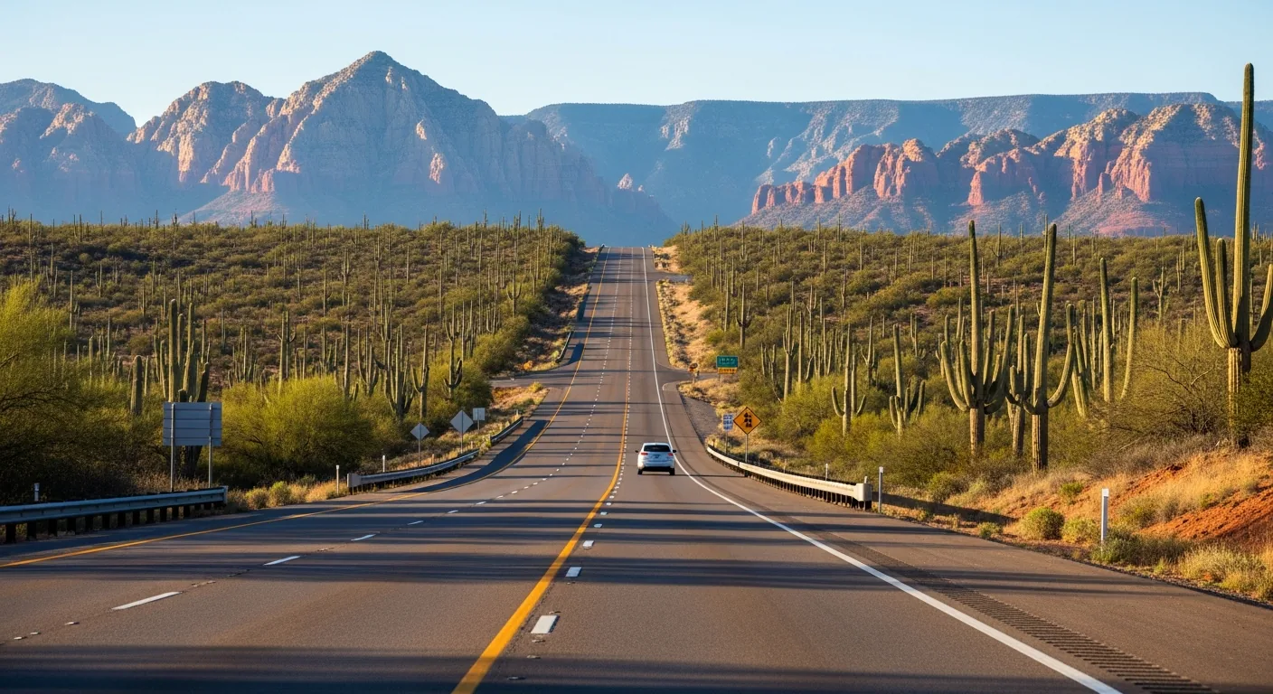
From Phoenix, up I-17 and onto SR 179. You leave Sky Harbor and work your way to Interstate 17 heading north. The first stretch is unremarkable — metro Phoenix thins into the low Sonoran desert, saguaros and creosote and a lot of open highway. Then the road starts to climb. Over the next hour you gain a few thousand feet, and the landscape changes with the elevation: desert gives way to high scrub, then to junipers and pines, and the temperature drops noticeably. It’s common for Sedona to be fifteen or twenty degrees cooler than the airport you just left. Somewhere in here you’ll pass exits for high-desert towns and rest areas that make good stretch-your-legs stops.
The turn you’re waiting for is the exit onto State Route 179, which carries you the last stretch north into the Village of Oak Creek and on into Sedona. This is where the payoff is. SR 179 is a designated scenic road — the Red Rock Scenic Byway — and the red formations start rising on both sides as you approach the Village of Oak Creek. Bell Rock and Courthouse Butte are among the first big ones you’ll see, right off the road. Traffic slows here, partly because everyone’s craning to look and partly because this is the built-up approach to town. Don’t fight it. You’ve been driving for two hours; the last twenty minutes are the reward. If you’d rather turn the drive into a day of its own, our guide to Phoenix-to-Sedona road trip stops maps out where to pull off.
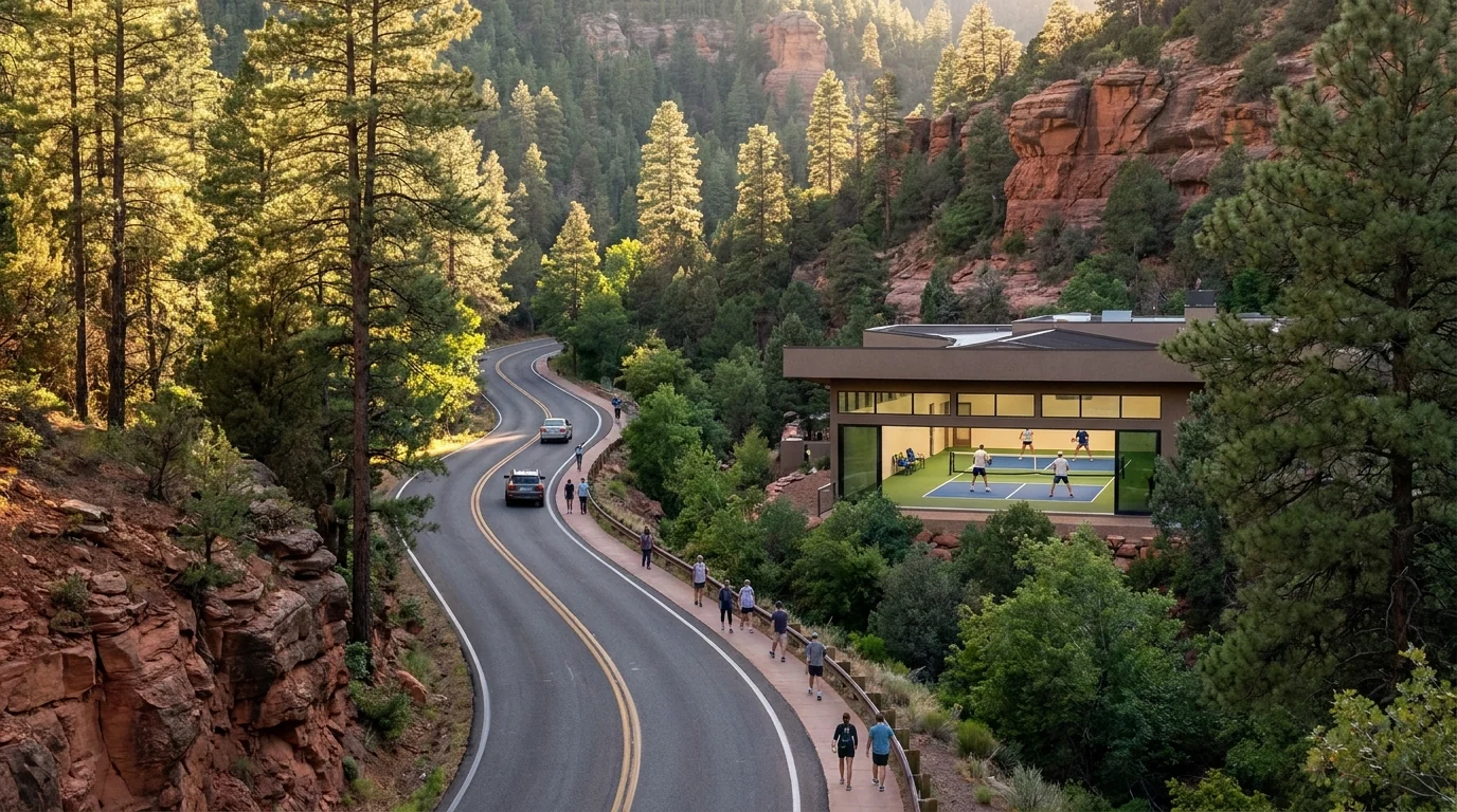
From Flagstaff, down SR 89A through Oak Creek Canyon. The Flagstaff approach is a completely different kind of drive — shorter in miles, but slow, and arguably even more beautiful. From Flagstaff you head south on State Route 89A, and after a few miles of pine forest the road reaches the rim of Oak Creek Canyon and begins one of the more dramatic descents in the state: a series of switchbacks that drop you off the Colorado Plateau and down into the canyon. There’s a viewpoint near the top of the switchbacks worth a stop. Then the road follows the creek down through the canyon itself — shaded, green, lined with pines and sycamores and the occasional creekside pullout — before it delivers you into the north end of Sedona.
It’s gorgeous. It’s also slow, and honestly so: the switchbacks demand your attention, the canyon road is narrow and popular, and on a busy day you’ll be moving at the pace of the car in front of you. Plan on it taking longer than the mileage suggests, especially if you stop, and you’ll want to. Our full write-up of the Oak Creek Canyon drive covers the stops and the timing. This is a wonderful road in good weather and a genuinely tricky one in bad — which brings us to winter.
Winter and weather: the drive changes
Sedona has four real seasons, and its elevation — around 4,350 feet — means winter here is colder and snowier than the desert reputation suggests. That has direct consequences for how you get in.
The two things to know:
- Oak Creek Canyon (SR 89A) can be slow, icy, or closed in winter. The canyon road from Flagstaff climbs to nearly 7,000 feet at the rim, and that high, shaded, switchbacked descent is exactly the kind of road that ices up and occasionally closes after a storm. The 40-minute Flagstaff approach that looks so appealing in July can be the wrong call in January. A car full of people who flew in for a fast arrival, facing a snowy canyon descent in the dark, is not the trip anyone pictured.
- I-17 crosses high country too. The Phoenix route isn’t immune. I-17 climbs into the high country and can see snow and ice at the higher elevations during winter storms, with the occasional slowdown or closure. It’s usually the more reliable of the two routes in bad weather — it’s a wide interstate that gets plowed and treated — but “usually more reliable” is not “always clear.”
The rule for a winter trip is simple: check current road conditions before you rely on either route. Arizona’s Department of Transportation (ADOT) publishes real-time highway conditions and closures — check them the morning you travel, not the week before. And don’t assume the Flagstaff “shortcut” is faster in a storm. When Oak Creek Canyon is icy, the longer I-17 approach from Phoenix is very often the smarter, safer way in, even for people who flew into Flagstaff.
None of this should scare you off a winter trip. Sedona in the snow, red rocks dusted white, is a genuinely special sight. It just means you check the conditions, give yourself extra time, and pick your route based on the weather rather than the map. If you’re visiting in the cold months, our guide to the best time to visit Sedona and our snowbird guide to wintering in Sedona both go deeper on what to expect.
Your arrival-day checklist
You’ve landed, you’ve got the car, and you’re pointed toward Sedona. A few things make the last leg and the first evening go smoothly.
- Fuel up before you leave the interstate. Gas is cheaper and stations are plentiful along I-17 and in the bigger towns; prices tend to run higher once you’re in Sedona proper, and the last thing you want after a two-hour drive is to go hunting for a gas station. Top off before you exit.
- Do your grocery run in West Sedona. If you’re staying somewhere with a kitchen and plan to cook — and in a home with a full kitchen, you probably will — the main grocery stores are in West Sedona. Hit one on the way in rather than driving back out later. Stock up for a couple of days: coffee for the morning, food for the first dinner, water for the trail, and whatever the group needs. It saves a trip and it’s cheaper than eating every meal out.
- Grab a Red Rock Pass if you’ll park at trailheads. Most of the popular trailheads and scenic pullouts in the surrounding national forest require a Red Rock Pass to park. It’s about $5 per day (subject to change), and you can buy it at trailhead machines, local vendors, and visitor centers. If you’re planning to hike or stop at forest overlooks, get one so you’re not scrambling for exact change at a kiosk. Some sites, like state parks, charge their own separate fees.
- Don’t fuss over the clocks. Arizona doesn’t observe daylight saving time, so depending on the season and where you flew in from, the time difference may not be what you expect. Your phone will sort it out; just don’t be surprised.
Then you’re done with logistics. Unload, and let the trip start.
The bottom line
There’s no airport in Sedona, so getting here always ends with a drive — and that’s fine, because the drive is a good one. For almost everyone, the plan is the same: fly into Phoenix Sky Harbor for the flights and fares, rent a car at the airport, and make the two-hour drive north up I-17 and onto the scenic last stretch of SR 179. Consider Flagstaff only when a convenient, well-priced flight genuinely lines up and you’d rather arrive in 40 minutes than two hours — and in winter, check the canyon-road conditions before you count on it. Mesa Gateway is a budget wildcard; Prescott and Sedona’s own airport are special cases.
Rent the car. Fuel up before you exit the interstate, stock the kitchen in West Sedona, grab a Red Rock Pass if you’re hiking, and you’ve handled every piece of the arrival. The hard part of a Sedona trip was never getting here. When your dates are set, see availability and start planning the fun part.
Frequently asked questions
What's the closest airport to Sedona?
The closest commercial airport is Flagstaff Pulliam (FLG), about 25 miles and a 40-minute drive north through Oak Creek Canyon. Sedona’s own airport (SEZ) is closer still — it’s right in town — but it has no scheduled airline service, only private and scenic flights. For most travelers, the more useful airport is Phoenix Sky Harbor, about two hours south, because of its flights and fares.
Can you fly directly into Sedona?
Not on a commercial airline. Sedona Airport (SEZ) sits on Airport Mesa in the middle of town, but it only handles private planes, charters, flight schools, and scenic helicopter and biplane tours. There’s no airline service, so a commercial trip to Sedona always means flying into a larger airport — usually Phoenix — and finishing by car or shuttle.
How far is Sedona from Phoenix airport?
Phoenix Sky Harbor is about 120 miles south of Sedona, which is roughly a two-hour drive with no stops. You take Interstate 17 north out of the metro, then State Route 179 for the scenic final stretch into the Village of Oak Creek and Sedona. Budget a little extra for Phoenix traffic on the way out and for slow, scenery-gazing traffic on 179 near town.
Do I need a rental car in Sedona?
For most visitors, yes. Sedona’s trailheads, overlooks, restaurants, and day trips are spread across many miles, and there’s no general public transit that connects them. A seasonal local shuttle serves some popular trailheads, but it won’t get you to the grocery store or around town. If you truly won’t drive, the Groome shuttle from Phoenix is a real alternative, but expect getting around town without a car to be difficult.
How do I get from Phoenix to Sedona without a car?
Groome Transportation runs a scheduled shared-ride shuttle between Phoenix Sky Harbor and Sedona, roughly $53 to $76 per person each way as of 2026 (fares change, so check and reserve ahead). Rideshare from the airport is possible but expensive, and arranging a return ride out of Sedona can be unreliable. Some resorts and rental hosts help coordinate transfers, so it’s worth asking where you’re staying.
Is it better to fly into Phoenix or Flagstaff?
For most people, Phoenix — it has far more airlines, more nonstop routes, and usually lower fares, and the two-hour drive is easy and scenic. Flagstaff is closer (about 40 minutes) and worth it when a convenient, reasonably priced flight actually lines up, since it saves you most of the drive. Compare both for your exact dates, and in winter factor in that the Flagstaff route through Oak Creek Canyon can be slow or icy.
Play year-round in red rock country
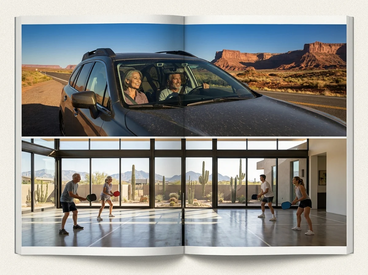
Sedona Pickler is a private Sedona home with its own indoor, climate-controlled pickleball court. Rally any season, any hour — heated, cooled and lit, with paddles and balls provided.
Check dates & book