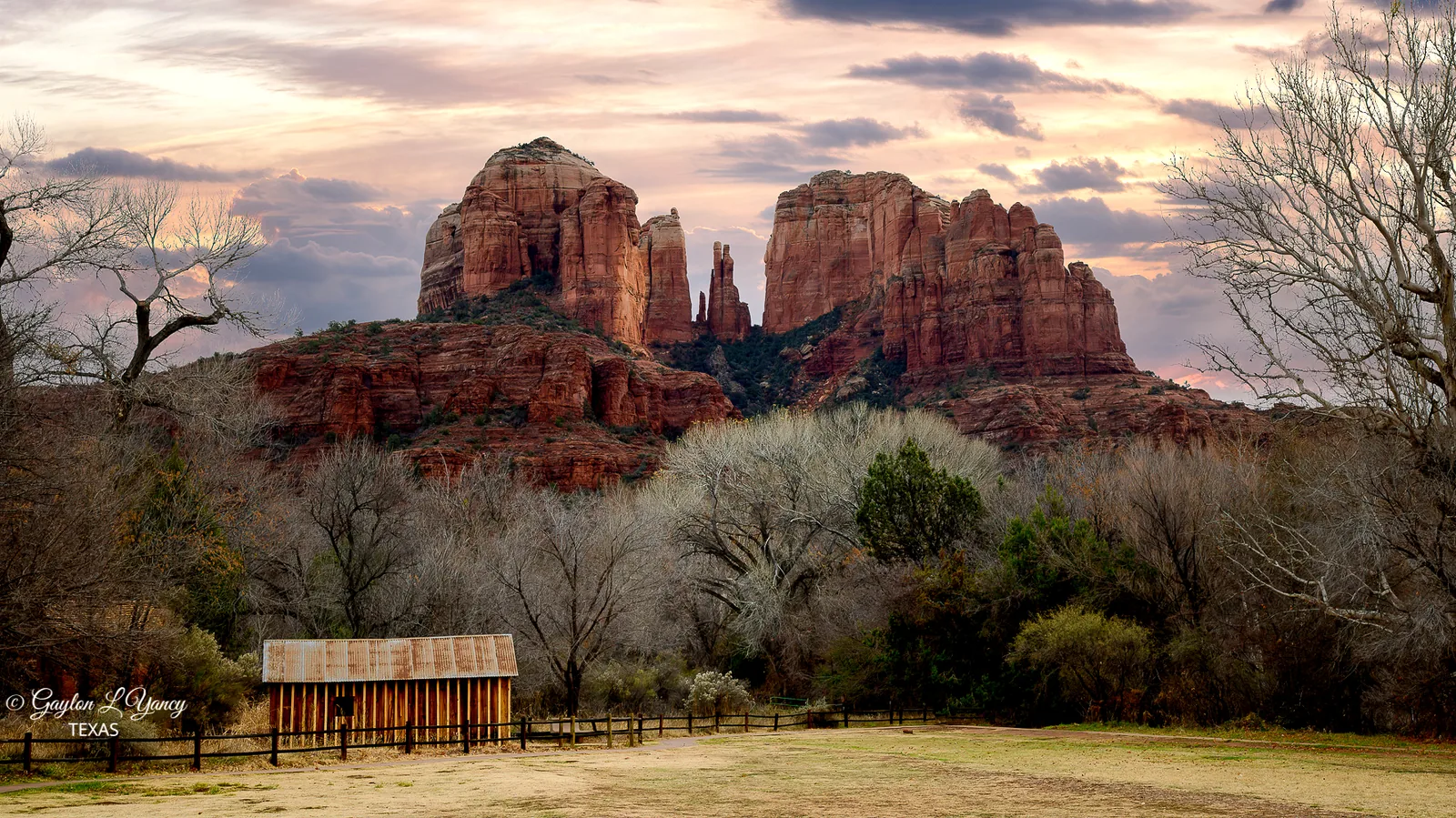
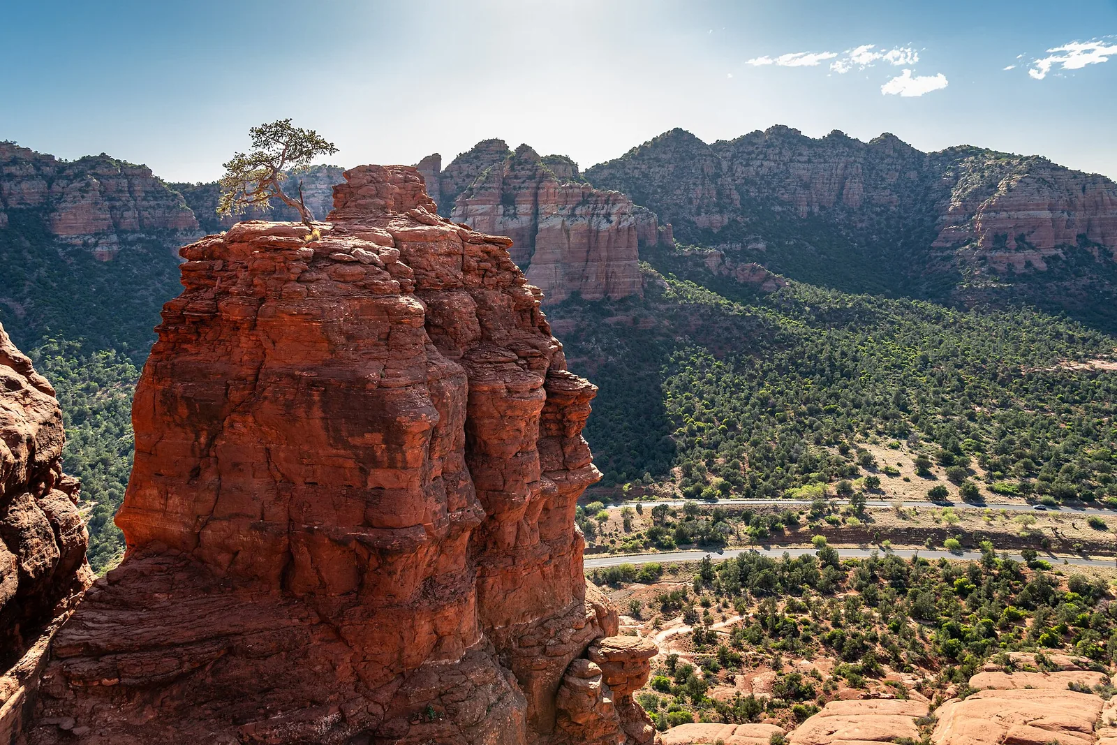
Getting Around Sedona: Parking, the Red Rock Pass & Shuttles
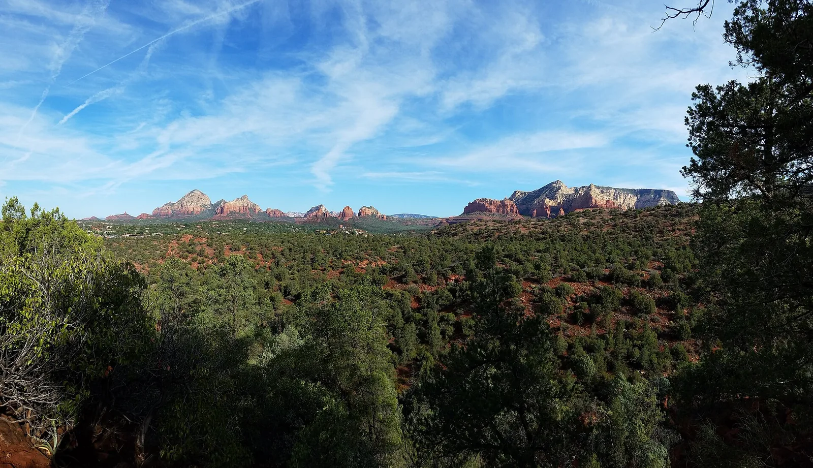
Sedona is small, but getting around it can trip up first-timers more than any trail ever will. The town is essentially two state highways that meet at a single roundabout, the trailhead lots fill before breakfast, and most of them sit on National Forest land where you need a pass to legally park. None of this is hard once you understand the system — it just helps to know the rules before you’re idling in a full lot at 9 a.m. wondering where everyone parked.
Here’s the honest version of how to move around Sedona without losing half your day to logistics: how to get here, where the free shuttle saves you, when you actually need the Red Rock Pass, and how to drive the roundabouts without flinching.
The Short Version (If You Read Nothing Else)
If you only remember a few things, make them these:
- You need a car. Sedona has no traditional city bus network, and rideshare is thin and pricey. Rent a vehicle at the airport.
- Most National Forest trailheads require a Red Rock Pass to park — about $5/day, $15/week, or $20/year. An America the Beautiful (Interagency) pass covers it too.
- The free Sedona Shuttle is the single best parking hack in town. Park free at a park-and-ride and ride to the busiest trailheads — and during shuttle hours, those trailhead lots are closed to private cars anyway.
- The roundabouts are your friend. Sedona built dozens of them instead of stoplights. Yield, merge, breathe.
Everything below is just the detail behind those four points.
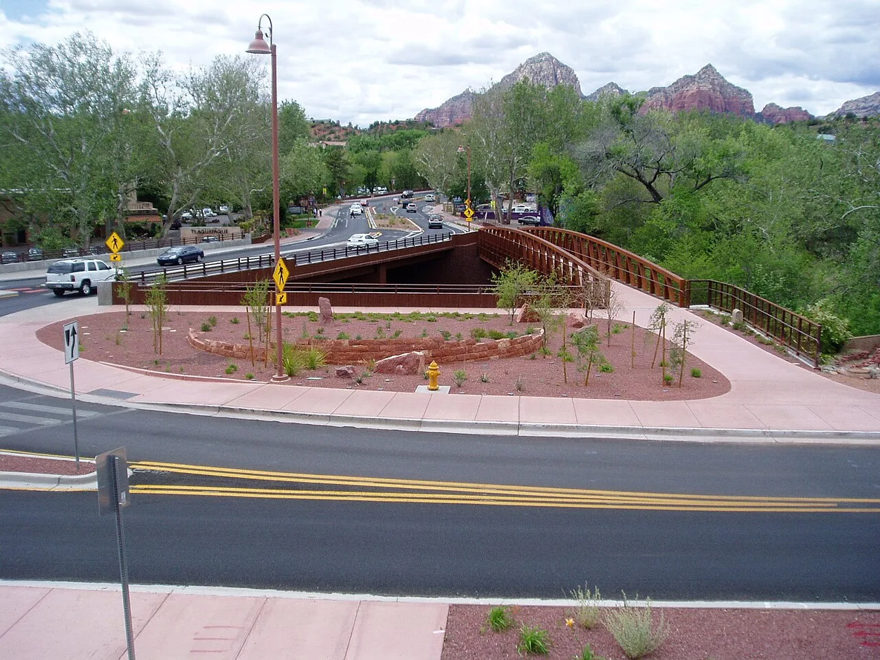
Getting to Sedona
There’s no commercial airport in Sedona itself. The Sedona Airport on Airport Mesa handles small private planes and scenic flights only, so you’ll fly into one of two places and drive the rest.
Phoenix Sky Harbor (PHX) — the usual choice
This is how most visitors arrive. Sky Harbor is the big international hub with the most flights and the cheapest car rentals, and it’s roughly 115 miles and about two hours north via Interstate 17, then a final stretch on either SR-179 (the scenic way, into the Village of Oak Creek) or SR-89A through Oak Creek Canyon. Budget two to two and a half hours with stops or traffic; the climb up I-17 gains a lot of elevation, and weekend afternoons heading back to Phoenix can clog up.
One quirk worth knowing: the exit for the scenic SR-179 approach is Exit 298 (SR-179 / Sedona); for the Oak Creek Canyon approach you’d continue toward Flagstaff and come down 89A. I-17 has a few long, steep grades, so mind the right lane on the climbs and watch for slow trucks.
Flagstaff Pulliam (FLG) — closer but smaller
Flagstaff’s airport is only about 45 minutes from Sedona, a beautiful drive down through Oak Creek Canyon on SR-89A. The catch: FLG is a small regional airport with limited flights (mostly connections through Phoenix or Dallas) and far fewer rental cars, so fares are often higher and inventory tighter. If a Flagstaff flight works for your schedule and budget, the shorter drive is a real perk. Just book the rental car early — single-digit availability is common.
Flagstaff sits at about 7,000 feet, so the drive down into Sedona’s 4,500-foot elevation is a steady descent with switchbacks at the top of Oak Creek Canyon — a stunning introduction to the area. In winter, though, that upper stretch is the first thing to ice or close in a storm, so if you land at night give yourself extra time and check road conditions first.
Should you rent a car?
Yes. I’ll be blunt about this because it surprises people: Sedona is not a rideshare town. Uber and Lyft technically operate here, but drivers are scarce, waits can be long, surge pricing is common, and you may simply not get a ride when you want one — especially at a remote trailhead at sunset. Without your own vehicle you’re stranded between your lodging, the trails, and dinner.
If you genuinely can’t or won’t drive, there are paid options:
| Option | Roughly what to expect | Notes |
|---|---|---|
| Rental car (from PHX or FLG) | Best value for a multi-day trip | Reserve ahead, especially at FLG |
| Shared shuttle (e.g., Groome Transportation) from PHX | ~$60–$100 per person each way | Scheduled; book in advance |
| Flagstaff–Sedona shuttle | ~$40+ per person each way | Seasonal (roughly spring–fall), advance reservation required |
| Private car service from PHX | ~$150–$400 one way | Door to door; priciest |
Prices shift, so confirm current rates and schedules with the operator before you count on them. For all-day exploring, though, nothing beats having your own wheels — and it means you can drop back at the house mid-afternoon, dodge the heat, and rest up before heading out again for the evening light. (If pickleball is your thing, the private indoor court means a few games even when it’s 100 degrees outside.)
Driving in Sedona: Roundabouts, the “Y,” and Traffic
Sedona’s road network is refreshingly simple to picture. Two highways do almost all the work:
- SR-89A runs east–west through town — Uptown on the east end, then West Sedona, and northeast it climbs through Oak Creek Canyon toward Flagstaff.
- SR-179 (the Red Rock Scenic Byway) runs south from the heart of town down to the Village of Oak Creek and on to I-17. It’s about 15 miles and one of the prettiest stretches of road you’ll drive anywhere.
The two meet at “the Y,” a roundabout where 89A and 179 join near Uptown. It’s the closest thing Sedona has to a town center on a map, and most directions you’ll get locally are framed as “north of the Y” or “south of the Y.”
About those roundabouts
Sedona deliberately built roundabouts instead of traffic lights — there’s a long chain of them down SR-179 in particular. If you’re not used to them, the rules are simple: yield to traffic already in the circle, signal when you exit, and don’t stop inside it. They keep cars moving far better than stoplights would, and once you’ve done two or three they feel natural. Don’t let them intimidate you; locals flow through them all day.
One finer point that catches people out: some of the SR-179 roundabouts have two lanes, so pick your lane before you enter (inner for the later exits, outer for the first exit or two) and don’t change lanes inside the circle. And expect the car ahead to slow down to gawk at the views — leave a little following room.
Local tip: When traffic backs up on SR-179 or through Uptown — and on a busy spring or fall weekend it will — resist the urge to white-knuckle it. The roundabouts meter the flow so it rarely comes to a dead stop. The bigger time-saver is simply going early. Be parked by 8 a.m. and you’ll skip almost all of it.
When the roads get busy
The crunch times are predictable:
- Spring (March–April) and fall (September–November) are the busiest seasons overall.
- Weekends push traffic up SR-179 from I-17 into the Village of Oak Creek and up SR-89A into Uptown.
- Uptown is most clogged from mid-morning through mid-afternoon, when day-trippers are circling for parking.
The fix is the same one experienced hikers use: start early, or save Uptown browsing and the scenic drives for late afternoon once the day-trip crowd thins. If you’re trying to nail down a week, our best time to visit guide breaks down the seasons in more detail.
Gas and fuel
Fill up before you go deep into the backcountry or head out on a day trip — there are stations in West Sedona and the Village of Oak Creek, but options thin out fast once you leave town toward places like Jerome, the Grand Canyon, or remote forest roads. Gas in Sedona tends to run a bit higher than in Phoenix, so if you’re driving up from the valley, topping off down there isn’t a bad idea. There’s no fuel in Oak Creek Canyon itself, so don’t start the Flagstaff drive on a quarter tank.
EV charging
Sedona is reasonably EV-friendly for its size. There’s a Tesla Supercharger at The Collective Sedona (7000 AZ-179) in the Village of Oak Creek, plus a scattering of Level 2 chargers around town at hotels, shopping centers, and public lots. Charging networks and stall counts change, so check a current app (PlugShare, ChargePoint, or your vehicle’s nav) before you rely on a specific spot. The climb up I-17 burns more range than you’d expect, so plan a charge stop if you’re coming from Phoenix — there are fast chargers along the corridor near Cordes Junction and Camp Verde.
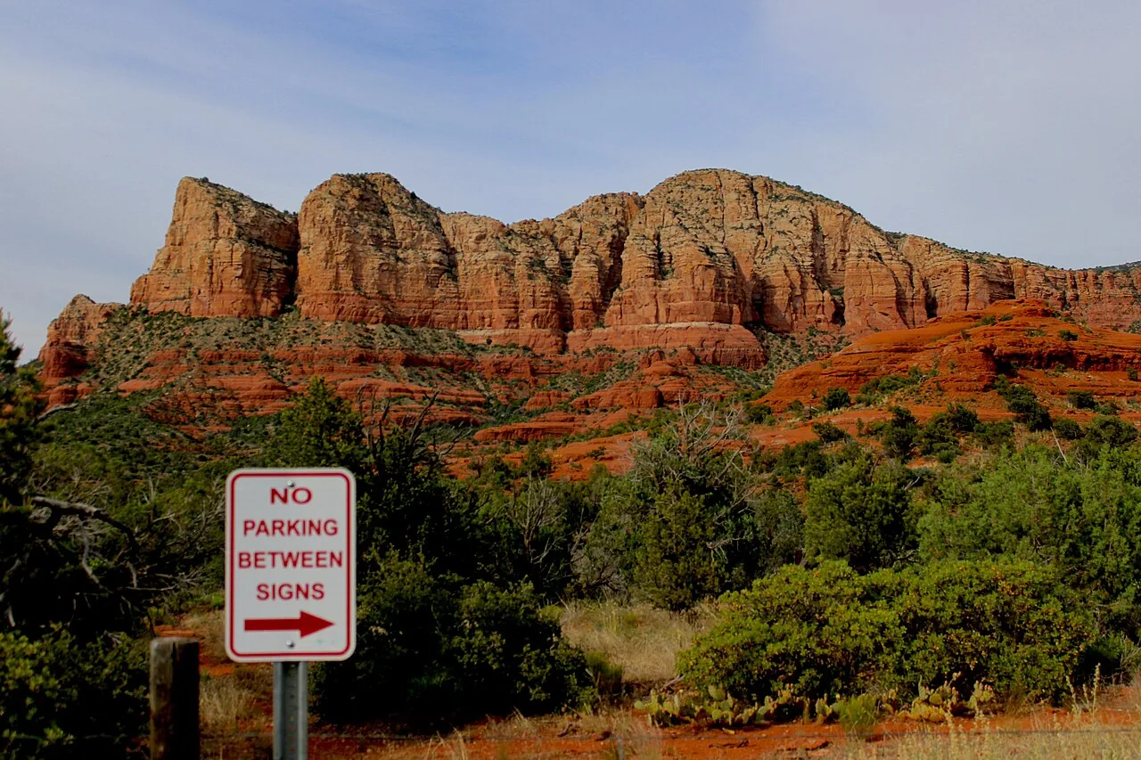
The Red Rock Pass: What It Is and When You Need It
Here’s the part that confuses almost everyone. Most of Sedona’s famous trailheads sit on Coconino National Forest land, and the Forest Service charges a small fee to park at the busiest day-use sites. That fee is the Red Rock Pass.
What it costs
| Pass | Price | Good for |
|---|---|---|
| Daily | ~$5 | The calendar day |
| Weekly | ~$15 | 7 consecutive days |
| Annual | ~$20 | 12 months |
| Coconino Annual | ~$50 | The annual pass plus the five concessionaire fee sites (below) |
These prices are stable but not frozen — confirm current rates before you go. You can buy a pass at the self-serve kiosks in the trailhead lots (bring a card or cash as the machine requires), at the Red Rock Visitor Center (daily and weekly only), the Sedona Chamber of Commerce, or online at recreation.gov. A useful detail the Forest Service likes to point out: about 90 cents of every dollar from the program goes straight back into maintaining and protecting these sites, so the pass isn’t just a parking fee — it’s funding the trails you’re using.
The America the Beautiful pass covers it
If you already own an America the Beautiful / Interagency Annual Pass (the $80 federal pass that gets you into national parks), you do not need a separate Red Rock Pass at the standard trailheads — just display it on your dash. Senior and Access (formerly Golden Age/Golden Access) passes work the same way. If a Grand Canyon day trip is on your itinerary, the Interagency pass can pay for itself fast — Grand Canyon’s entrance fee alone is $35 per vehicle.
Where the Red Rock Pass works — and where it doesn’t
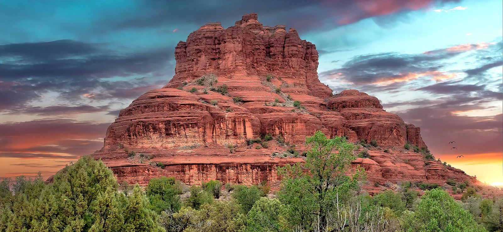
This is the trap. The Red Rock Pass covers parking at roughly 19 high-use day-use sites on National Forest land — places like the Cathedral Rock, Bell Rock, Courthouse Butte, Devil’s Bridge (Dry Creek), and Soldier Pass areas. But it does not cover everything. Five developed, concessionaire-run sites charge a separate, higher fee and are not covered by the basic Red Rock Pass:
| Site | What it is |
|---|---|
| Crescent Moon Ranch (Red Rock Crossing) | The classic Cathedral Rock reflection / creek-side picnic spot |
| West Fork (Call of the Canyon) | Sedona’s most beloved canyon hike, in Oak Creek Canyon |
| Grasshopper Point | Swimming and cliff-jumping hole on Oak Creek |
| Beaver Creek | Day-use and swimming near the Wet Beaver Wilderness |
| Lower Lake Mary | Reservoir day-use site toward Flagstaff |
At each of those you pay a per-vehicle day fee at the entrance (cash or card varies by site), or you can buy the Coconino Annual Pass (~$50), which bundles the regular Red Rock annual coverage with these five sites. Separately, Slide Rock State Park is a state park with its own entrance fee — none of the federal passes (Red Rock, Coconino, or America the Beautiful) work there.
When you DON’T need a pass
- Just driving and pulling over for a quick photo or to take in a vista (roughly 15 minutes or less) doesn’t require a pass — the Forest Service calls this “incidental stopping.”
- Street parking in Uptown and West Sedona, and the lots at shops, restaurants, and Tlaquepaque, are free (or pay-to-park, but not Red Rock Pass land) — the pass is specifically for National Forest trailheads and day-use sites.
- And, critically: when the free shuttle is running to a trailhead, you ride for free and skip the pass entirely — more on that next.
The Free Sedona Shuttle: The Best Parking Tip in Town
If I could give a Sedona first-timer one piece of logistics advice, it’s this: use the free Sedona Shuttle. The City of Sedona runs a free, fixed-route trailhead shuttle that takes you from a couple of large park-and-ride lots straight to the most popular (and most parking-starved) trailheads. It solves three problems at once — the full lots, the Red Rock Pass, and the stress of circling.
Why it’s so good
- It’s free. Park free, ride free. No reservation needed for the fixed trailhead routes.
- No Red Rock Pass required when you ride — you’re not parking at the trailhead, so the fee doesn’t apply.
- It’s often your only option anyway. During shuttle operating hours, the trailhead lots at Cathedral Rock, Soldier Pass, and Dry Creek (Devil’s Bridge) are closed to private cars. If you drive up hoping to park, you’ll be turned around. The shuttle isn’t a nice-to-have on those days; it’s the way in.
Which trailheads it serves
The free shuttle covers a rotating set of Sedona’s heaviest-hit trailheads. Routes and names shift a little by season, but the served trailheads typically include:
- Cathedral Rock — one of Sedona’s signature hikes and a vortex site (about a 1.2-mile round trip, but a steep slickrock scramble that gains roughly 600–740 feet)
- Soldier Pass — caves, the Seven Sacred Pools, and an arch
- Dry Creek / Devil’s Bridge — the trailhead for the famous arch
- Mescal — easier, scenic, great for families
- Little Horse — gentle and popular, near the Chapel area
The park-and-ride lots
You leave your car at one of the park-and-ride lots and hop the shuttle. The main staging areas are:
- Posse Grounds Park & Ride (off Carruth Drive in West Sedona) — feeds routes toward Soldier Pass, Dry Creek, and Mescal.
- North SR-179 Park & Ride (along SR-179, north of the Village) — feeds the Cathedral Rock and Little Horse routes.
There’s also a W. SR-89A Park & Ride lot used for some routes, and color-coded routes connect the lots to the trailheads. The lots themselves are large and free; you’ll almost never struggle for a space there even when the trailheads are slammed.
Hours and seasons (confirm before you go)
The trailhead routes run year-round, generally Thursday through Sunday, with expanded daily service during the busiest stretches. Schedules change by season, so always check the current timetable at the official Sedona Shuttle site or the TransLoc app (which shows the buses in real time) before heading out. As a recent picture:
- Spring break (roughly late February through late April): expanded to seven days a week, about 7:00 a.m.–5:30 p.m.
- Holidays (late December into early January): expanded service, roughly 7:00 a.m.–5:00 p.m.
- The rest of the year: typically Thursday–Sunday.
- Buses generally run every 15–45 minutes depending on demand and route.
- Service typically pauses on Thanksgiving and Christmas Day.
Local tip: Catch the very first shuttle of the day. You’ll beat the heat, get the best light for photos, and have the trail mostly to yourself before the mid-morning wave arrives. Bonus: there’s no scramble for a spot, because your “parking” is the wide-open park-and-ride lot.
A few practical notes that catch people off guard: each bus has a front bike rack (about 3 bikes, first-come, first-served), the shuttles are ADA accessible and can carry up to two wheelchairs, and dogs are not allowed on the trailhead shuttle — so if you’re hiking with a leashed dog, you’ll need to drive yourself and pay the Red Rock Pass instead. There’s no fare box; you just board. Bring water, since shade at the stops isn’t guaranteed.
Skip the Rideshare: Sedona Shuttle Connect
Here’s the part most guides miss. Beyond the free trailhead routes, the city runs a paid, on-demand microtransit service called Sedona Shuttle Connect — a local, shared, curb-to-curb ride within town. It’s the closest thing Sedona has to reliable rideshare, and because it’s run by the transit system rather than gig drivers, it actually shows up.
How it works:
- It’s curb-to-curb within a service zone covering most of Sedona — the park-and-ride lots, Uptown, and the Hillside / Tlaquepaque shopping area. Other passengers may share your ride.
- Book it through the TransLoc app (choose “On Demand”) or by phone at 928-203-5152.
- Pay in-app with a saved card, or with exact cash on boarding, since drivers can’t make change. Fares are modest and far more predictable than surge-priced rideshare.
- It runs Thursday–Sunday, roughly 6:30 a.m.–6:00 p.m. (confirm current hours before relying on it).
What it’s great for: a winery afternoon when you don’t want to drive, or getting from your lodging to dinner Uptown. What it’s not: a way out to remote trailheads or a substitute for a car on a full day of exploring. Pair it with the free trailhead shuttle and you can get around car-free for a relaxed in-town day — just not a hiking-heavy one.
Accessibility and Getting Around with Limited Mobility
Sedona’s backcountry is rugged, but a surprising amount of the scenery is reachable without a hard hike:
- The free shuttles are ADA accessible (up to two wheelchairs per bus), and you can flag a wheelchair boarding ahead of time in the TransLoc app.
- The Chapel of the Holy Cross has accessible parking and a paved approach with sweeping red-rock views.
- The Red Rock Scenic Byway (SR-179) and the Oak Creek Canyon drive deliver world-class views entirely from the car, with paved pullouts at several overlooks.
- Tlaquepaque is largely flat and paved, with accessible parking — easy browsing without a trail.
Call the Red Rock Visitor Center to confirm current trail and site conditions, and if full hikes are off the table you can still build a rich day around scenic drives, easy hikes, and in-town stops.
How to Avoid the Worst of the Crowds and Traffic
You can have a near-empty Sedona experience even in peak season if you play the clock and the calendar:
- Go at dawn. The single most effective move. Be parked (or on the first shuttle) by 7–8 a.m. and you’ll skip the traffic, the full lots, and most of the heat.
- Use the shuttle for the big-name trailheads. Cathedral Rock, Soldier Pass, and Devil’s Bridge are exactly the lots that fill first and close to cars — let the bus handle them.
- Save Uptown and the scenic drives for late afternoon, after the day-trippers have cleared out.
- Visit midweek if you can. Weekends bring the I-17 day-trip surge from Phoenix — and remember the free trailhead shuttle often runs only Thursday–Sunday outside peak season, so a Tuesday means driving yourself and paying the pass.
- Have a plan B trailhead. If a lot’s full and the shuttle’s done for the day, pivot to a less-trafficked hike rather than circling.
A Few Safety Notes for Driving and Parking
- Don’t leave valuables in your car at trailheads. Break-ins happen at popular trailheads anywhere; lock up and stash anything tempting out of sight, ideally before you arrive rather than in the lot.
- Watch for elevation and weather. Coming up from Phoenix you’ll gain thousands of feet; Oak Creek Canyon can ice over in winter and the upper canyon road occasionally closes for snow or rockfall. Check the ADOT road conditions site before a winter drive.
- Mind the heat in summer. A locked car in Sedona’s summer sun is dangerous for kids and pets, and trailhead lots offer little to no shade.
- Beware monsoon flash floods (July–September). Afternoon storms can turn a dry wash or a creek crossing dangerous in minutes. Never park or hike in a drainage when storms are forecast, and don’t drive through flooded roadways.
- Some sites need a real high-clearance vehicle. A few backcountry destinations — Schnebly Hill Road, for instance — involve rough, rocky forest roads that a rental sedan has no business on. That’s what guided jeep tours are for, and many rental agreements forbid unpaved roads anyway.
- Cell service is spotty once you leave the highways. Tell someone your plan, and carry that offline map.
Putting It Together: A Sample Logistics Plan
Here’s how a typical day flows once you’ve got the system down:
- Wake early. Grab coffee in town or fuel up at the house.
- Drive to the right park-and-ride (Posse Grounds for the west-side trails, North SR-179 for Cathedral Rock / Little Horse).
- Hop the free shuttle to your trailhead — no pass, no parking stress.
- Hike in the cool morning hours, then shuttle back to your car.
- Drive yourself to a lunch spot, a self-park trailhead (display your Red Rock Pass), or a scenic byway in the early afternoon.
- Regroup midday out of the heat, then head back out for sunset at an overlook or a relaxed dinner Uptown once the crowds thin — and if you’ve been drinking at a winery, let Shuttle Connect handle the ride.
That rhythm — shuttle for the marquee trails, your own car for everything else, early starts always — is how locals and savvy visitors keep Sedona feeling spacious instead of frantic. For a full day-by-day version, see our 3-day itinerary.
What to Pair With This
Once the logistics make sense, the fun part is planning the actual days. A few natural next reads:
- The big-ticket hikes the shuttle exists for: Cathedral Rock, Soldier Pass, and Devil’s Bridge.
- If you’d rather take it slow, our roundup of easy hikes covers the gentler, family-friendly options like Mescal and Little Horse.
- For the prettiest stretches of pavement you’ll drive, see the Red Rock Scenic Byway (SR-179) and the Oak Creek Canyon drive.
- And if you’d rather hand the rough roads to someone else, look at jeep tours.
Get the getting-around part right and everything else in Sedona gets easier. Sort your rental car, decide between the Red Rock Pass and the shuttle for each trail, start early — and when you’re done for the day, stay at Pickler House and unwind while everyone else is still hunting for a parking spot.
Frequently asked questions
Do I really need a car in Sedona?
What does the Red Rock Pass cost and where do I need it?
Does my America the Beautiful (national parks) pass work in Sedona?
Is the Sedona Shuttle free, and do I still need a Red Rock Pass?
Where do I park to catch the free shuttle?
Does the Red Rock Pass work at Slide Rock State Park?
Stay where you can rally any season
Sedona Pickler is a private West Sedona vacation home with its own indoor, climate-controlled pickleball court — a short drive from the trailheads, viewpoints and restaurants in this Sedona guide. Play at sunrise or after dark, in any weather.
Check availability on Airbnb