West Fork Trail: Oak Creek Canyon's Famous Fall Hike
West Fork of Oak Creek is the hike people drive across Arizona for, and for good reason. You walk a flat-bottomed canyon where the walls close in to a few hundred feet apart, the creek braids back and forth under big-leaf maples and Arizona sycamores, and in late October the whole thing turns gold and orange. It is also the most crowded trail in the Sedona area on a fall weekend, the parking lot is small, and you will get your feet wet, so a little planning makes the difference between a great day and a frustrating one.
What it is and why people go
West Fork follows the West Fork of Oak Creek up a side canyon off Oak Creek Canyon, north of Sedona. The official name of the trailhead and day-use area is Call of the Canyon, after the 1923 Zane Grey novel that was set and partly filmed here. On the ground you will also see it signed as West Fork Trail No. 108, managed by the Coconino National Forest.
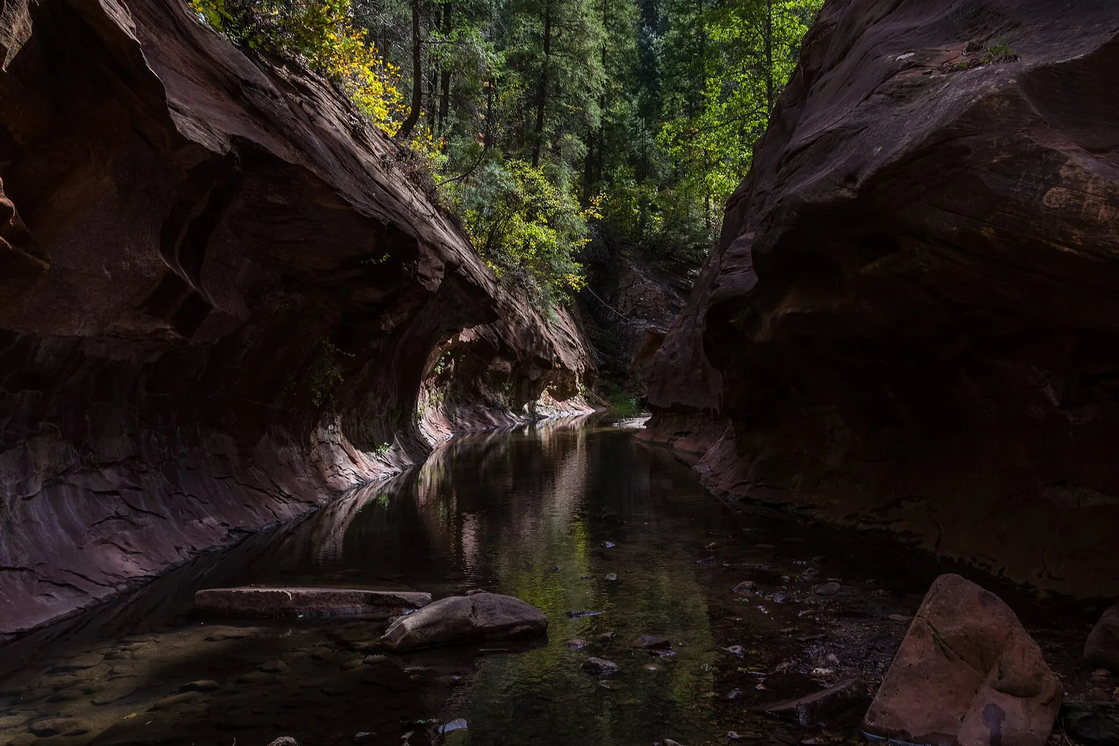
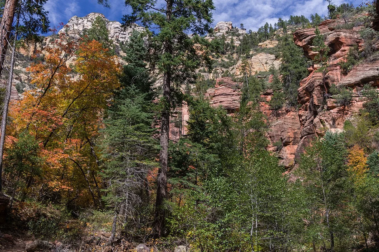
The first thing you notice is that this does not feel like the rest of Sedona. The famous red-rock spires and open vistas are replaced by a narrow, shaded slot of a canyon with a creek running down the middle. The walls are tall and close, streaked with desert varnish, and in places they curve overhead like the inside of a wave. Because the trail stays low along the water, it is mostly flat and mostly shaded, which makes it one of the few comfortable summer hikes in the area and an unusually easy hike for the scenery you get.
People come for three things, roughly in this order: the fall color, the canyon walls, and the creek. The fall color is genuinely the best in Arizona, the canyon walls are dramatic the entire way, and the creek crossings keep kids and dogs entertained. It earns the crowds, which is the honest catch.
A bit of history adds to the appeal. The canyon was the setting for Zane Grey’s 1923 novel The Call of the Canyon, and the early stretch of the trail passes the stone remains of the old Mayhew Lodge, a backcountry resort that hosted guests for decades before it was destroyed by fire. The Forest Service kept the old name for the day-use area, which is why the sign at the highway says Call of the Canyon while the trail itself is West Fork No. 108. Knowing that, the crumbling stonework you pass early on stops looking like random rubble and starts looking like what it is: the foundations of a place people have been escaping to for a hundred years.
The basics at a glance
Here are the numbers that matter, pulled from the Coconino National Forest and corroborated against the usual trail references. Distances vary slightly by source because the maintained trail simply ends and the canyon keeps going, so treat these as round figures.
| Detail | What to expect |
|---|---|
| Round-trip distance | About 6.5 miles out-and-back to the end of the maintained trail (roughly 3 miles each way) |
| Elevation gain | Modest, roughly 300 feet over the maintained section |
| Difficulty | Easy grade, but rated moderate overall because of the length and 13 creek crossings |
| Creek crossings | 13 on the maintained trail, more if you continue upstream |
| Time needed | 3 to 4 hours at an unhurried pace with photo stops |
| Trailhead | Call of the Canyon Day Use Area, AZ-89A, about 10 to 11 miles north of Sedona |
| Parking / pass | Concessionaire day-use fee, around $15 per vehicle; Red Rock Pass and America the Beautiful pass are NOT accepted |
| Dogs | Allowed on leash |
The maintained trail ends after about three miles where the canyon narrows and the creek fills the canyon floor. From there, experienced hikers continue by wading and scrambling up the creek bed, which is a wonderful trip in its own right but a different undertaking than the day hike most people come for. For your first visit, turning around at the end of the maintained trail makes a full, satisfying day.
How to get there, parking, and the fee
The trailhead is on Arizona Highway 89A in Oak Creek Canyon, roughly 10 to 11 miles north of Sedona (and about 12 miles south of Flagstaff). From the center of Sedona, you drive north on 89A and the highway leaves the red rocks behind, climbing into a wooded creek canyon. The Call of the Canyon parking area is on the west side of the road, marked with a brown Forest Service sign. It is an easy 20 to 25 minute drive in light traffic.
A few things to know before you turn in:
- The lot is paved but small. This is the single biggest constraint on the whole hike. There are restrooms and a covered picnic area, but only a limited number of spaces.
- There is a day-use fee, and it is its own thing. Call of the Canyon is run by a concessionaire, and the fee is collected at the entrance. As of recent seasons it runs around $15 per vehicle for the day, with reduced rates for walk-ins and bicyclists. Prices change, so confirm the current amount before you go.
- Your Red Rock Pass does not work here. This trips people up constantly. The standard Red Rock Pass that covers most Sedona trailheads is not honored at Call of the Canyon, and neither is the federal America the Beautiful / interagency pass. If you are a frequent visitor, the Coconino Annual Pass (around $50) does cover Call of the Canyon along with a handful of other developed sites, and you can buy it at the Sedona Chamber of Commerce visitor center, Crescent Moon Ranch, or at the trailhead itself.
- There is no Sedona Shuttle to West Fork. The free Sedona Shuttle serves trailheads like Cathedral Rock and Soldier Pass, but it does not run up 89A to West Fork. You will need to drive yourself.
Local tip: When the main lot fills, people sometimes park along 89A and walk in, but the shoulders here are narrow, the speed limit is real, and rangers do ticket illegal parking. The far better move is simply to arrive early. If you roll up at 8 a.m. on a weekday you will likely walk right in; if you arrive at 10 a.m. on a Saturday in late October you may circle for a long time or get turned away.
Difficulty and what the hike is actually like
Do not let the “moderate” rating scare you off. The grade is gentle the whole way, with no big climbs and no exposure. What makes West Fork a little more than a flat stroll is the combination of distance and the crossings.
The hike starts by passing the remains of the old Mayhew Lodge homestead, then crosses Oak Creek on a footbridge before turning up the West Fork side canyon. From there you are walking a well-trodden dirt path along the creek, ducking under trees and threading between the canyon walls. Every so often the trail meets the water and you cross.
The 13 creek crossings
There are 13 crossings on the maintained trail, and they are the defining feature of the hike. In normal conditions the water is shallow and slow, and many crossings have stepping stones or logs placed by other hikers. Some you can rock-hop dry; others you will not, especially in spring runoff or after rain. Plan on wet feet at least once and you will not be disappointed.
A few practical notes on the crossings:
- Water levels change fast. After snowmelt in spring or a summer monsoon storm, crossings that are ankle-deep can become genuinely difficult or unsafe. If the creek is running high and brown, turn around.
- Trekking poles help. A single pole gives you a third point of contact on wet, mossy rocks. This is the kind of place where people twist ankles.
- The rocks are slick. Smooth, water-polished stone plus a film of algae equals zero traction. Step deliberately.
Footing and surface
Between crossings the trail is mostly smooth dirt with some roots and rocks. It is family-friendly and very doable for reasonably fit kids, who tend to love the water. Once you pass the end of the maintained trail, the character changes completely to boulder-hopping and wading, which is for confident hikers only.
What you actually see along the way
The canyon reveals itself in stages rather than all at once. The first half mile is open and easy, with the old homestead and the footbridge over Oak Creek. Once you turn up the West Fork, the walls begin to rise and the trees thicken. About midway, the canyon tightens to its narrowest and most photogenic, with sheer walls curving overhead and the creek pooling clear and green at their base. This is the section that ends up on postcards and screensavers, and it is worth slowing down for. The maintained trail keeps going to a spot where the canyon pinches down and the creek fills the floor wall to wall, which is the natural turnaround for a day hike. The reward is gradual, so resist the urge to rush the first mile to “get to the good part” — the good part starts almost immediately and only deepens.
Best time of day and season
Fall color: the headline event
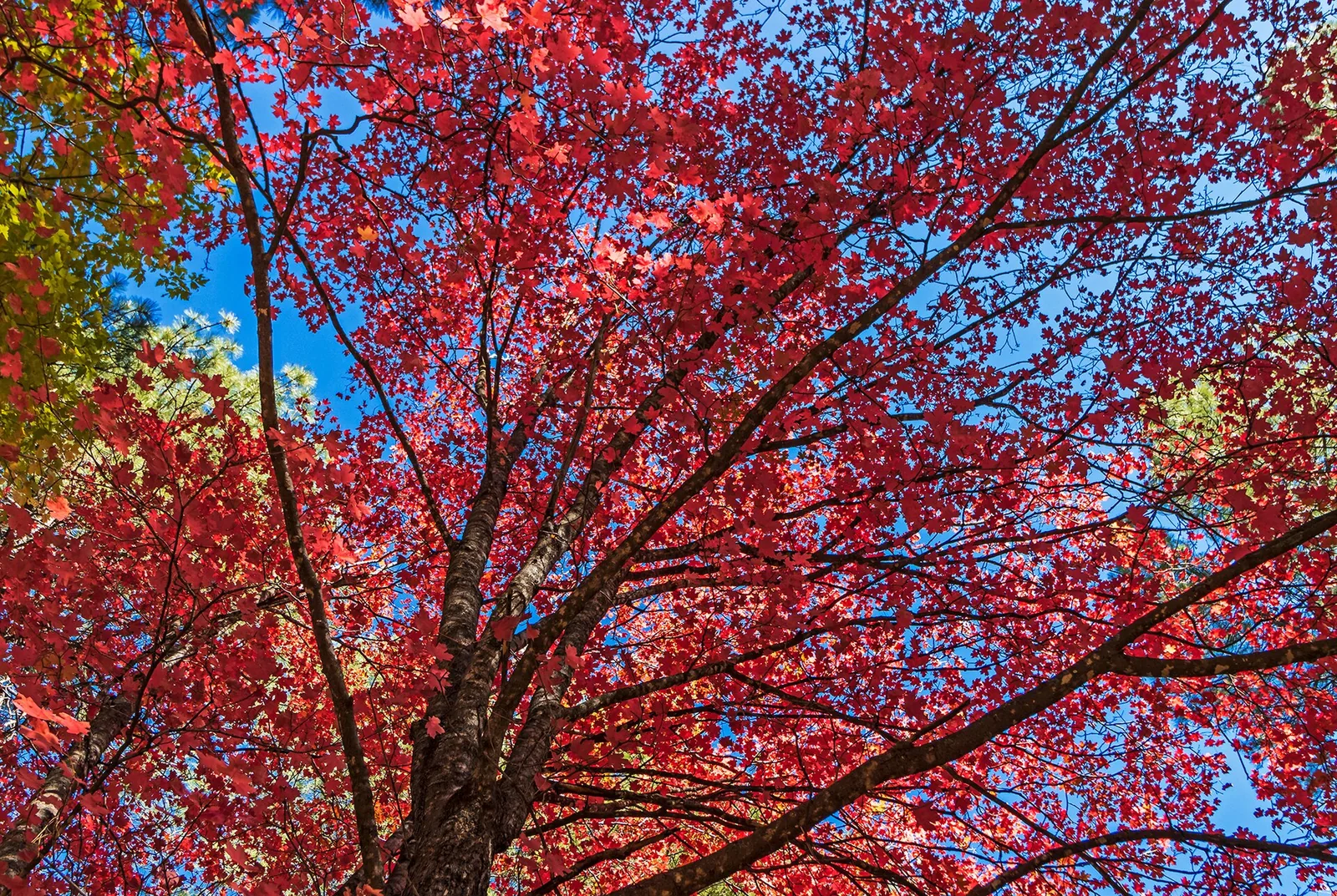
West Fork is widely considered the best fall foliage hike in Arizona, full stop. The canyon is full of bigtooth maples, Arizona sycamores, and oaks, and when they turn, the contrast of gold and red leaves against the dark canyon walls and the green of the creek is the kind of thing people frame on their wall. Peak color usually lands from mid-October to early November, though it shifts a week or two each year with the weather. The first week of November is often a safe bet, but check recent trip reports before you commit to a date.
The trade-off is obvious: peak fall color is also peak crowds. On an October weekend the lot can fill by 9:00 to 9:30 a.m., sometimes earlier.
Other seasons
- Summer is one of the best times to hike here precisely because so much of the trail is shaded and right next to cool water. While the rest of Sedona bakes, West Fork stays relatively pleasant. Watch the forecast for monsoon storms, which can spike the creek.
- Spring brings green and rushing water, with crossings at their most demanding from snowmelt.
- Winter is quiet and can be beautiful with a dusting of snow, but the trail can be icy, muddy, and cold in the shade, and crossings are no fun in freezing temperatures.
Time of day
Arrive early no matter the season. Before 8 a.m. gets you a parking spot and the canyon largely to yourself, with soft morning light. If you cannot make an early start, the lot sometimes opens up again in the early afternoon as the morning crowd heads out, so a noon arrival is a viable plan B. Midday light is flat for photos but the canyon shade is forgiving.
What to bring
This is not a hard hike, but the creek crossings and the length mean a few items earn their place in your pack.
- Footwear you do not mind getting wet. Some people wear trail runners and accept wet socks; others bring water sandals with good grip, or waterproof boots and just step carefully. Avoid smooth-soled shoes.
- A second pair of dry socks to change into for the drive home.
- Trekking poles, especially if your balance on wet rock is not what it used to be.
- Water and snacks. There is no water on the trail, and the day flies by once you start stopping for photos.
- A light layer. The canyon stays cooler and shadier than the parking lot, and it can feel chilly in fall mornings.
- Sun protection for the open sections near the trailhead and the drive.
- A bag for your dog’s waste if you bring your dog, and a leash (more on that below).
- A camera or a phone with storage to spare. The canyon walls are the kind of thing you keep photographing.
Dogs on West Fork
This one is worth getting right, because there is a lot of conflicting information online. Dogs are allowed on the West Fork Trail, but they must be leashed. The trail enters the Red Rock-Secret Mountain Wilderness, and leashed dogs are permitted in this wilderness, with a six-foot leash being the standard expectation. Rangers do patrol, and you must pack out your dog’s waste.
The confusion usually comes from Slide Rock State Park, a separate destination a few miles down the road, where pets are not allowed from May through September at all. Do not let the Slide Rock rule make you leave your dog in a hot car at West Fork; bring it, leash it, and pack out the waste. That said, 13 creek crossings with a dog is a real workout for both of you, so be honest about whether your dog is up for it.
Accessibility
The Call of the Canyon area has a paved parking lot, restrooms, and a flat, shaded picnic area near the trailhead, and the first stretch of the path near the old homestead is relatively level and pleasant. However, the trail itself is not wheelchair accessible. The 13 creek crossings, the rock and log stepping stones, and the natural dirt surface make the full hike unsuitable for wheelchairs or strollers, and challenging for anyone with significant mobility or balance limitations. For a taste of the canyon without the crossings, the picnic area and the first few hundred yards are genuinely enjoyable on their own.
How to avoid the crowds
West Fork’s popularity is the price of its beauty. Here is how to get the canyon closer to the way it deserves to be experienced:
- Go early. Arriving before 8 a.m. is the single most effective thing you can do. You get parking, light, and quiet.
- Go midweek. A Tuesday in late October is a dramatically different experience than a Saturday. If your schedule allows a weekday, take it.
- Avoid the peak fall weekends if solitude matters more than peak color. The last two weeks of October and the first weekend of November are the busiest of the year.
- Try the afternoon shift. If mornings are not your thing, aim to arrive around noon as the early crowd clears out, and enjoy the canyon as it empties toward late afternoon.
- Walk past the turnaround point. Most day hikers stop at the end of the maintained trail. If you are comfortable wading and scrambling a little farther upstream, the crowds thin out fast.
Local tip: Fall color and crowds are not perfectly aligned. The canyon often holds good color into the first week or two of November after the biggest crowds have thinned, and a few maples can still be glowing while the masses have moved on. A weekday in early November is one of the best-kept timing tricks for this trail.
Safety
West Fork is a forgiving hike by Sedona standards, but a few real hazards are worth respecting.
- Flash floods. This is a narrow canyon with a creek running through it, which is exactly the geography flash floods love. Never enter the canyon if storms are forecast or building, especially during monsoon season (roughly July through September). Water can rise far upstream and arrive without warning.
- Slippery crossings. Most minor injuries here are slips on wet rock. Go slow, use poles, and do not jump between stones.
- High water. If the creek is running fast and discolored, the crossings can be unsafe. There is no shame in turning around.
- Cold and shade. The canyon stays cool. In fall and winter, wet feet plus shade plus a breeze can get uncomfortable; pack a layer.
- Cell service is spotty. Tell someone your plan, and do not count on your phone for navigation or emergencies in the canyon.
- Pack it out. This includes dog waste, fruit peels, and everything else. The trail’s popularity means small amounts of litter add up fast.
- Stay on the trail and out of fragile spots. The canyon floor sees enormous foot traffic, and cutting switchbacks or trampling streamside vegetation does real damage over a season. The crossings have informal stepping stones for a reason; use them rather than widening the trail into the creek.
- Mind your footing on the return. People get tired and careless on the way back, and that is when the slips happen. Save a little focus for the last few crossings.
What to pair it with nearby
West Fork sits on the scenic stretch of 89A, so it pairs naturally with other Oak Creek Canyon stops. Because the hike eats up a half day with the drive, most people pick just one of these to add on.
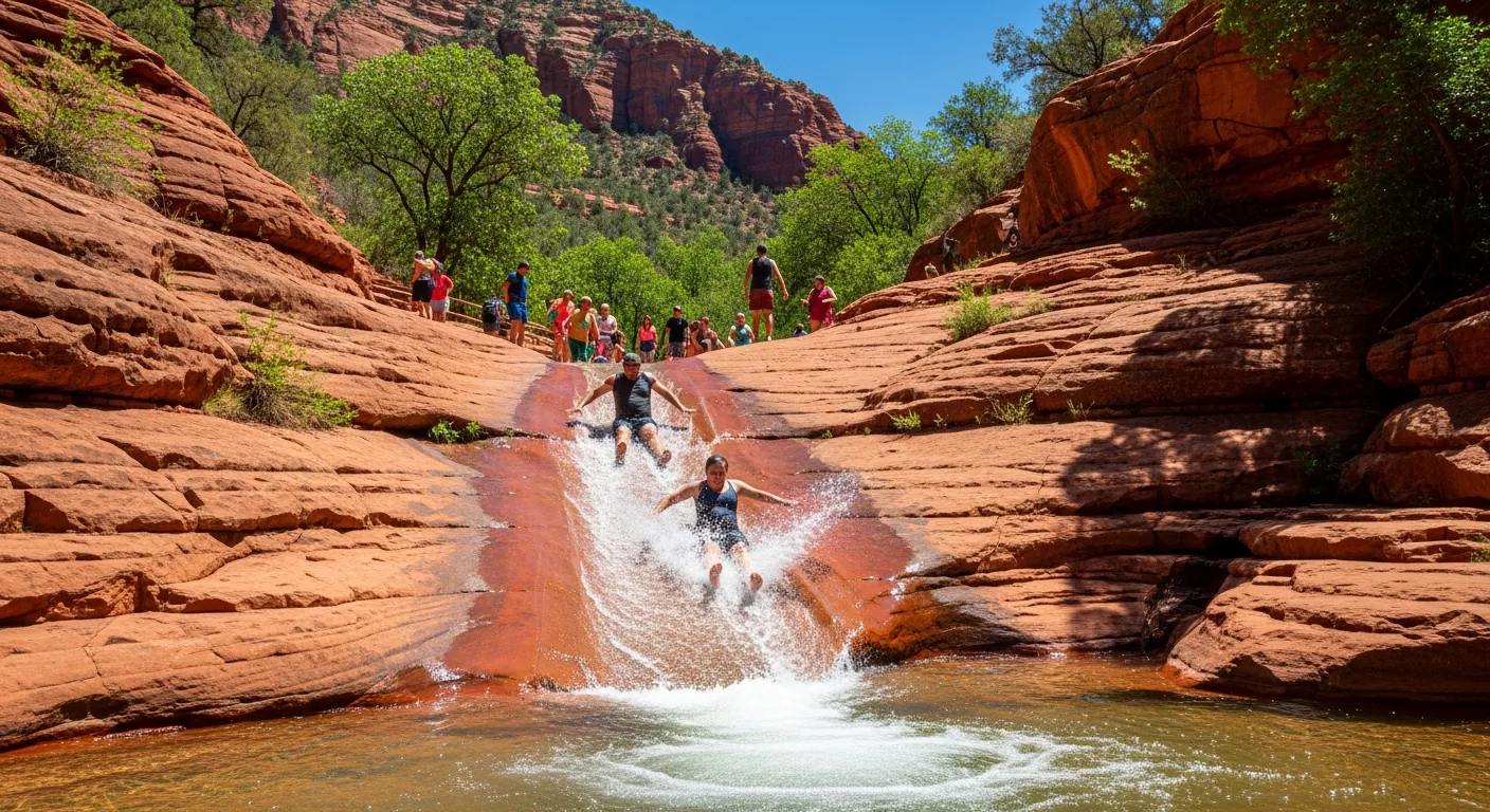
- Slide Rock State Park is just a few miles south on 89A, a natural rock waterslide in Oak Creek where you can cool off after the hike (separate state park fee, and remember the May-through-September pet ban there).
- The Oak Creek Canyon scenic drive is the road you are already on. Continue north toward the switchbacks and the Oak Creek Canyon overlook for one of the best pullouts in the area.
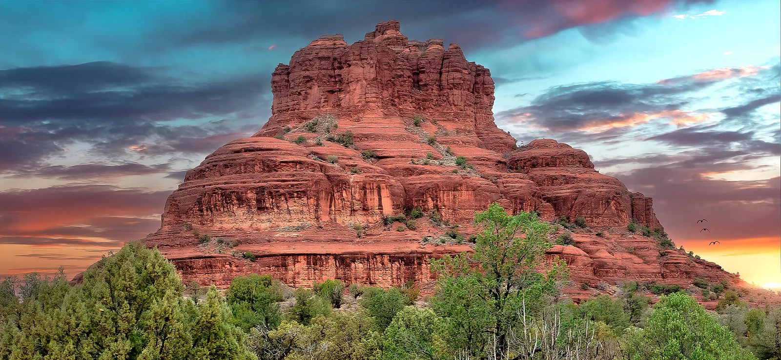
- If you want to bookend the day with classic red-rock scenery, the Red Rock Scenic Byway on the other side of town (SR-179) is the postcard drive, and short, family-friendly walks like Bell Rock are easy add-ons.
- For more in the same vein of accessible, scenic hiking, see our roundup of easy hikes around Sedona.
After a day of wet feet and 13 creek crossings, there is something to be said for coming back to dry off, and if you are staying with us, getting in a relaxed rally on the indoor court before dinner. Whether you book the house for the pickleball or for the canyons, West Fork is the kind of day that makes the trip.
A simple plan for your visit
If you want a no-fuss template, here it is:
- Leave Sedona by 7:15 a.m. so you reach Call of the Canyon before 8.
- Pay the day-use fee at the entrance (cash or card; confirm the current amount).
- Cross the footbridge, hike the maintained trail to its end, taking your time at the crossings and the best canyon-wall sections.
- Turn around and hike back; the canyon looks different in the other direction and the changing light keeps it interesting.
- On the way home, stop at Slide Rock or an Oak Creek Canyon overlook, then head back to dry off.
Done early, this is a half-day hike with the best fall color in the state and canyon walls you will be thinking about long after you leave. Just remember the small lot, the wet feet, and the pass that is not your Red Rock Pass, and the rest takes care of itself.
Frequently asked questions
Is the Red Rock Pass valid at West Fork Trail?
How hard is the West Fork Trail?
When is the best time to hike West Fork for fall color?
Are dogs allowed on the West Fork Trail?
Will I get my feet wet on West Fork?
How early should I arrive to get parking?
Stay where you can rally any season
Sedona Pickler is a private West Sedona vacation home with its own indoor, climate-controlled pickleball court — a short drive from the trailheads, viewpoints and restaurants in this Sedona guide. Play at sunrise or after dark, in any weather.
Check availability on Airbnb