Brins Mesa Trail: Big Views Above Uptown Sedona
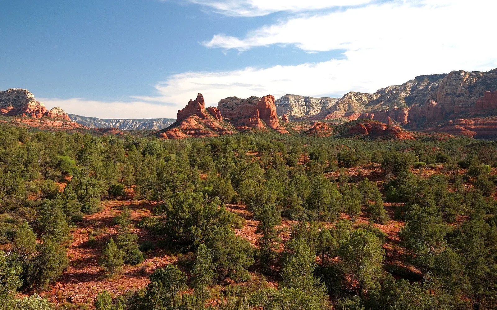
Brins Mesa is the hike I send people on when they want the big, open red-rock views without the conga line you get on Devil’s Bridge or Cathedral Rock. The trail starts right above uptown Sedona, climbs steadily through a canyon, and pops out onto a wide, flat mesa where the views open up in every direction. It’s honest work — a real climb, some sun exposure, a rough road on one end — but it pays you back, and on most mornings you’ll share it with a fraction of the crowd you’d find a few canyons over.
What Brins Mesa is and why you should go
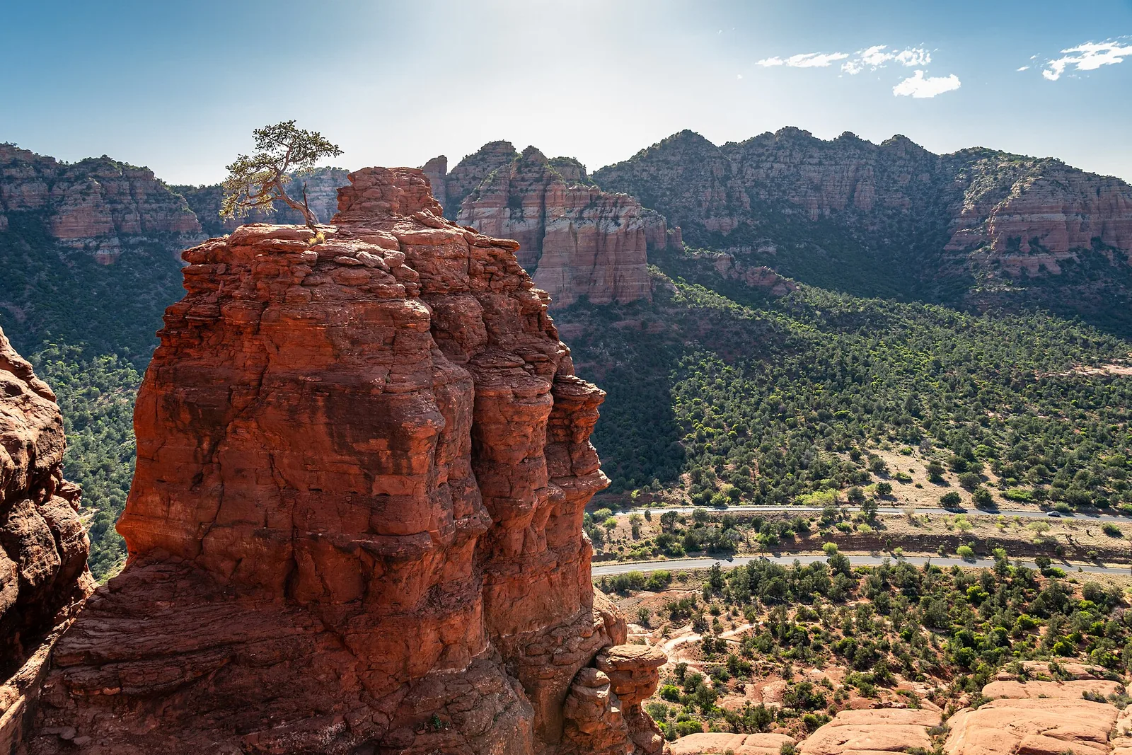
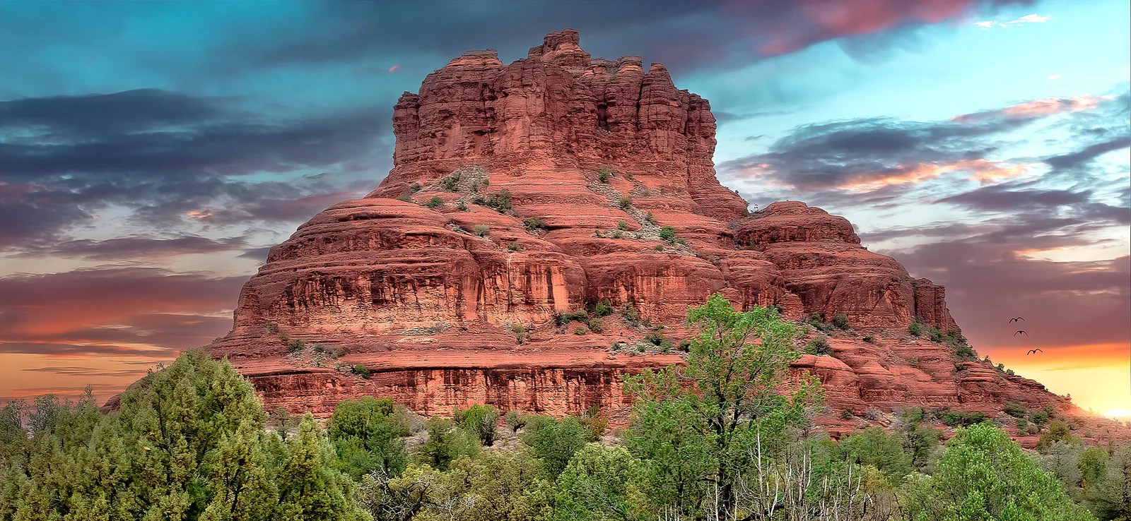
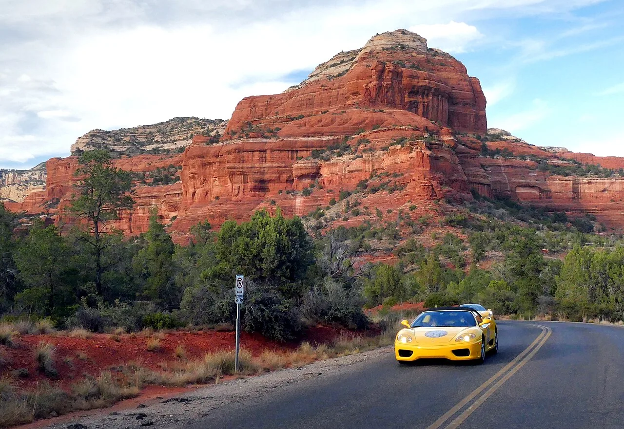
Brins Mesa Trail No. 119 is a Coconino National Forest system trail that sits in the Red Rock–Secret Mountain Wilderness, the protected backcountry that wraps around the north and west sides of Sedona. The “mesa” is exactly what it sounds like: a broad, gently sloping tabletop of red rock and high-desert scrub, perched above Mormon Canyon and the town below. The draw is the payoff at the top. After you’ve worked your way up out of the canyon, the trail levels onto open ground and you get a genuine panorama — Wilson Mountain to the east, the spires and walls of the Secret Mountain Wilderness to the north and west, and the rooftops of Sedona far below to the south.
It’s a different feel from the marquee Sedona hikes. There’s no single Instagram money-shot like a stone arch or a summit pool, so it doesn’t pull the same crowds. What you get instead is space, quiet, and a sense of how big this landscape actually is. For a lot of repeat Sedona visitors, Brins becomes the favorite precisely because it’s the one where they could actually hear the wind.
A few quick facts before we get into the weeds:
| Detail | Brins Mesa Trail No. 119 |
|---|---|
| Trail number | #119 (Coconino National Forest) |
| Distance | About 4 to 4.5 miles one-way, end to end; most people do an out-and-back of roughly 5 to 8 miles depending on turnaround |
| Elevation gain | Roughly 650 feet from the Jordan (uptown) end to the mesa |
| Difficulty | Moderate |
| Wilderness | Red Rock–Secret Mountain Wilderness |
| Trailheads | Jordan / Jim Thompson (paved, uptown) or Forest Road 152 / Vultee Arch Road (rough, high-clearance) |
| Pass | Red Rock Pass or America the Beautiful pass required |
| Dogs | Allowed, on leash |
How to get there, park, and what pass you need
There are two ends to this trail, and they could not be more different. Which one you choose shapes your entire day.
The Jordan Road / Jim Thompson end (the easy one)
This is the access point almost everyone should use. It’s the south end of the trail, reached on paved roads from uptown Sedona, and it has a real parking lot with pit toilets and a pass kiosk.
To get there from the Highway 89A / Highway 179 “Y” in central Sedona, head north on 89A a short distance to Jordan Road, turn left (north) on Jordan, follow it most of a mile, then turn and follow the signs up Park Ridge Drive to the trailhead lot at the end. The whole drive is paved and doable in any rental car. The trailhead is shared by several trails — Brins Mesa, Cibola Pass, and Jordan Trail all leave from here — so read the signs at the kiosk so you start on the right one.
The lot is decent-sized but it is not infinite, and it fills early on weekends and through the busy spring and fall seasons. If you roll up at 10 a.m. on a Saturday in March, you may circle for a spot or end up parking down the road. More on timing below.
Local tip: The Jordan/Jim Thompson lot is the one to aim for. The road in is paved, there are restrooms, and you can pay for your pass right there. Skip the Forest Road 152 end unless you genuinely have a high-clearance vehicle and want the adventure — it is not the place to test your rental sedan’s suspension.
The Forest Road 152 / Vultee Arch Road end (the rough one)
The north end of Brins Mesa connects to Forest Road 152, also called Vultee Arch Road, which branches off Dry Creek Road on the west side of town. This is a notoriously rough, rocky, washboarded dirt road. It is slow going and genuinely hard on a low-clearance vehicle; people regularly bottom out and crack things on it. A high-clearance vehicle is strongly recommended, and after rain it can be worse.
The upside of starting from this end is that it puts you on the mesa from the back side and lets you do a true end-to-end traverse if you’ve arranged a car shuttle. The downside is the drive. For most visitors, the juice isn’t worth the squeeze — start from Jordan and save your rental car.
The pass you need
Both trailheads sit on Coconino National Forest land, so you need a parking pass displayed in your windshield. Your options:
- Red Rock Pass — sold at the kiosk machine at the trailhead and at the Sedona Chamber of Commerce / Red Rock Visitor Center. Recent pricing has run around $5 for a day, $15 for a week, and $20 for an annual pass, but prices change, so check the posted rate or buy online through Recreation.gov before you go.
- America the Beautiful interagency pass — if you already own the $80 federal annual pass (the one that covers national parks), it’s accepted here in place of a Red Rock Pass. Just display it on your dash.
A National Park “entrance” receipt from somewhere else does not count — you need an actual Red Rock Pass or a valid interagency pass. If you’re hiking several days in the Sedona area, the weekly Red Rock Pass or the America the Beautiful pass usually pencils out better than buying a daily pass each morning.
Getting there without a car
When the City of Sedona’s free trailhead shuttle is running, it serves the Soldier Pass corridor, which connects by trail to the Brins/Cibola/Jordan network. Service has historically run roughly Thursday through Sunday from the Posse Grounds park-and-ride, with routes and operating days that change seasonally. If you’d rather not deal with a full parking lot, check the current Sedona Shuttle schedule before your trip — it’s a real option for getting into this area on busy days. See our getting around guide for the bigger picture on shuttles, parking, and traffic.
Difficulty and what to expect on the trail
Brins Mesa earns its “moderate” rating honestly. It’s not a casual stroll, but it’s well within reach for anyone in decent shape who’s comfortable on uneven ground.
From the Jordan end, the trail starts gently, working its way north toward and into the lower reaches of Mormon Canyon. For the first stretch you’re walking through pinyon-juniper and manzanita with the canyon walls rising around you. Then the trail gets down to business and climbs — a steady grade up rocky, sometimes loose footing to gain the lip of the mesa. This middle climb is the part that gets people breathing hard. It’s roughly 650 feet of gain spread over a couple of miles, so it’s not brutal, but it’s a real climb and the footing demands attention.
Once you top out onto the mesa, the grade nearly disappears. You’re walking across open, gently sloping ground with the views wide open. This is the reward stretch, and it’s where you’ll want to slow down, find a rock, and just look. The trail continues across the mesa and eventually drops down the far side toward Forest Road 152, connecting to other trails along the way.
A few things to set expectations:
- Footing: Expect rock, loose gravel, roots, and the occasional dry wash crossing. Trail runners or light hikers are fine for most people, but ankle support helps on the climb.
- Shade: Limited. There’s some cover in the canyon at the bottom, but the mesa itself is wide open with little to hide under. Plan around the sun.
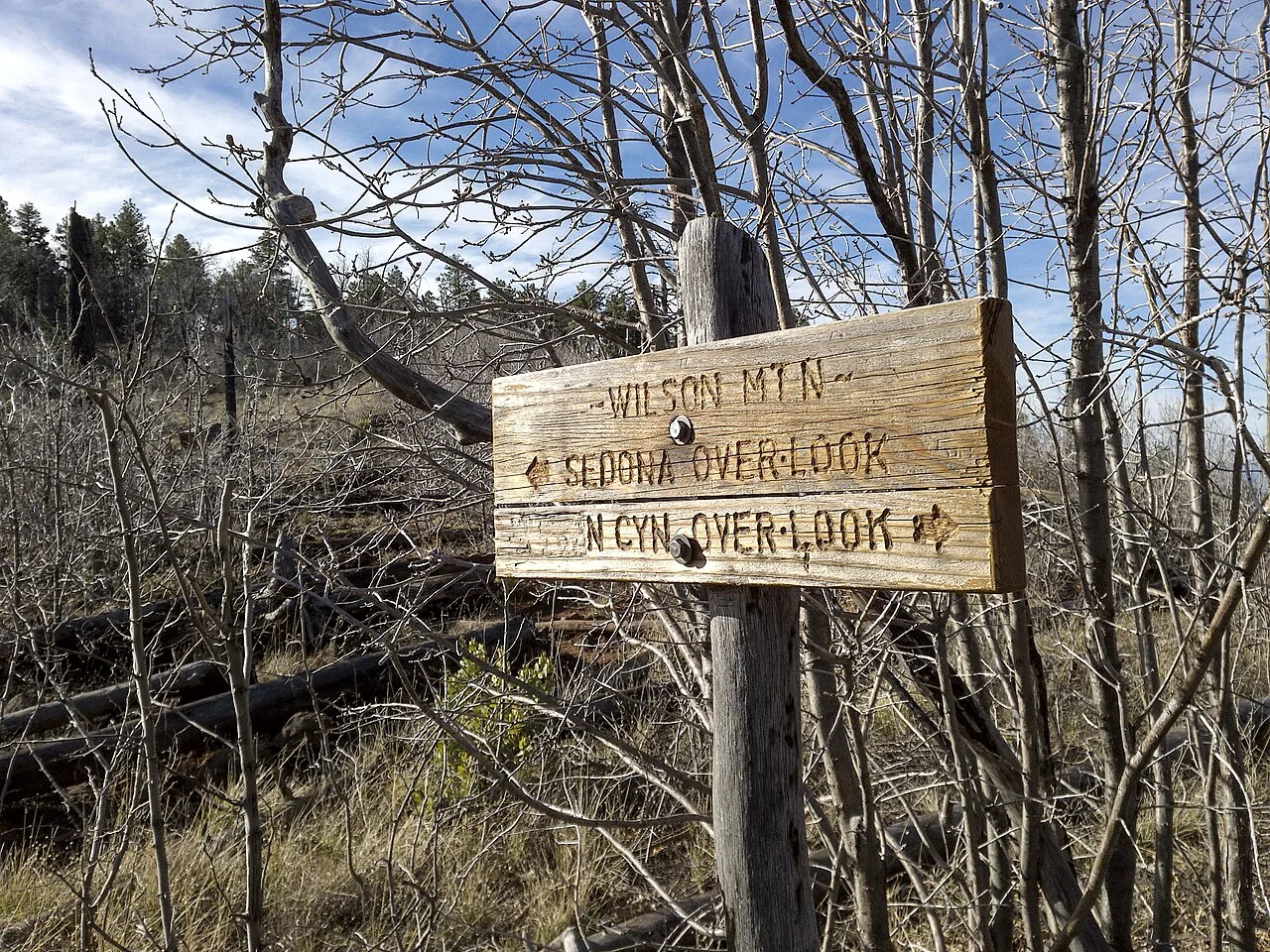
- Navigation: The trail is reasonably well-marked and the junctions are signed, but you’re in wilderness with several connecting trails. Carry a downloaded map and pay attention at junctions, especially if you’re planning a loop.
If you want something gentler, our easy hikes roundup has options with less climbing. If you want more punishment and a true summit, see hard hikes.
The story of the Brins Fire
You can’t really understand the look of this place without knowing about the fire. In June 2006, the Brins Fire burned through this exact landscape — roughly 4,300 acres of Coconino National Forest right above Sedona. It was human-caused, traced to an escaped campfire, and it spread fast in dry, windy, peak-heat conditions, threatening homes on the edge of town before crews got it contained.
What that means for you on the trail today is that you’re walking through a recovering burn area. In the years since, the vegetation has come back in waves — grasses and shrubs first, then the slow regrowth of larger plants. You’ll see standing snags, blackened trunks, and stretches of low, scrubby new growth mixed in with the red rock. It’s not ugly; it’s actually a pretty vivid lesson in how this high-desert ecosystem heals itself, and the more open vegetation is part of why the views from the mesa feel so expansive.
It’s also a quiet reminder of why fire restrictions in this area are taken seriously. If there’s a fire ban in effect when you visit — and in the dry months there often is — respect it completely. No campfires, no smoking on the trail, nothing that throws a spark.
Best time of day and season
Timing is the single biggest lever you have for making Brins Mesa great instead of merely fine.
Time of day
Go early. I mean it. The mesa is exposed, the parking lot is finite, and Sedona’s crowds build through the morning. An early start — at or near sunrise — gets you cooler temperatures, soft light on the red rock, a guaranteed parking spot, and the trail mostly to yourself. Late afternoon into golden hour is the other sweet spot for light, and the views west off the mesa can be excellent as the sun drops, but you’ll want to time your descent so you’re off the steep section before dark. Midday in warm months is the one to avoid: full sun, no shade, hot rock radiating heat back at you.
Season
| Season | What it’s like | Verdict |
|---|---|---|
| Spring (Mar–May) | Mild temps, often green after winter moisture, beautiful — and the busiest crowds of the year | Great hiking, worst parking; go early |
| Summer (Jun–Aug) | Hot and exposed; afternoon monsoon storms possible Jul–Sep | Hike at dawn only; off the mesa before storms |
| Fall (Sep–Nov) | Comfortable temps, thinner crowds than spring, lovely light | Arguably the best overall window |
| Winter (Dec–Feb) | Cool to cold, possible snow on the higher ground, fewest people | Excellent if you’re prepared and the road’s clear |
Summer in Sedona is no joke. Heat-related trouble on exposed trails is one of the most common reasons hikers get into difficulty here. If you’re visiting June through August, treat dawn as the only acceptable start time for this one, and be alert for monsoon thunderstorms in the afternoons — you do not want to be standing on an open mesa when a storm rolls in.
What to bring
Nothing exotic, but don’t underpack. The exposure and the climb make Brins less forgiving than it looks.
- Water — more than you think. At least two liters per person in cool weather, and considerably more in the heat. There is no water on the trail.
- Sun protection. Hat, sunglasses, sunscreen. The mesa offers essentially no shade.
- Real shoes. Trail runners or hiking shoes with grip. The loose, rocky footing on the climb chews up flat-soled sneakers.
- Snacks. Something with salt and calories for the top.
- A downloaded map. Cell service is spotty in the canyon and the wilderness. Download an offline map before you lose signal.
- Layers in the cooler months. It can be cold and breezy on the open mesa even when town is mild.
- Your pass. Display it in the windshield so you don’t come back to a ticket.
Accessibility and dogs
Let’s be straight: Brins Mesa is not an accessible trail. The footing is rocky and uneven, there’s a sustained climb with loose ground, and the trailhead lot is unpaved gravel. It’s not suitable for wheelchairs or strollers, and it’s a tough ask for anyone with significant mobility limitations or balance concerns. If you or someone in your group needs a gentler, smoother experience, the Chapel of the Holy Cross and some of the paved viewpoints around town deliver red-rock scenery with far less effort.
Dogs are welcome — this is one of the dog-friendly trails in the area — but they must be on a leash the entire time. You’re in designated wilderness with wildlife around, and leash rules are enforced. Bring plenty of water for your dog too; that hot rock burns paws, and there’s no shade for them to recover in. Pack out everything, including waste.
How to avoid the crowds
This is one of Brins Mesa’s best features: it’s genuinely easier to find quiet here than on Sedona’s headline hikes. A few simple moves stack the odds in your favor:
- Start at or before sunrise. Most crowds don’t materialize until mid-morning. The earlier you go, the more the place is yours — and the cooler it is.
- Go on a weekday if you can. Weekends, especially in spring and fall, are when the lot fills and the trail gets busy.
- Avoid the spring break weeks if quiet matters to you. March and April are peak Sedona.
- Use the shuttle on busy days if it’s running, so a full lot doesn’t end your plans before they start.
- Walk past the first viewpoint. A lot of people turn around once they hit the mesa edge. Push a little farther across the mesa and you’ll often have the views entirely to yourself.
Compared to the lines at Devil’s Bridge, Brins feels almost secret — and that’s the whole point of putting it on your list.
Safety on the trail
Sedona’s beauty hides some real hazards, and the most common ones here are completely avoidable with a little planning.
- Heat is the big one. Most rescues on exposed Sedona trails involve dehydration and heat exhaustion. Carry more water than you think you need, start early, and turn around if you’re overheating. The mesa’s lack of shade is the trap.
- Monsoon storms (July–September). Afternoon thunderstorms build fast. Lightning on an open mesa is dangerous. Watch the sky, and if storms are forecast, be off the high ground by early afternoon.
- Footing and falls. The loose, rocky climb is where people roll ankles. Take it slow on the descent, when you’re tired and gravity’s working against you.
- Wildlife. This is rattlesnake country in the warm months — watch where you put your hands and feet, especially around rocks and brush. Javelina and other critters are around too; give them space.
- Tell someone your plan. Service is unreliable in the canyon and wilderness. Let someone know your route and expected return time.
None of this is meant to scare you off. Thousands of people hike Brins safely every year. It just rewards a bit of respect.
What to pair it with nearby
The beauty of Brins Mesa is how it plugs into the rest of the Soldier Pass trail network — and how close it is to uptown when you’re done.
Make it a loop with Soldier Pass
The classic move here is to link Brins Mesa with Soldier Pass and the connecting Cibola Pass and Jordan trails into a loop of roughly 5 to 6 miles. From the Jordan/Jim Thompson trailhead you can build a loop that takes in the mesa views on Brins plus Soldier Pass’s famous features — the Seven Sacred Pools, the Devil’s Kitchen sinkhole, and (with a short spur) the Soldier Pass Cave. It’s a fuller day and a fantastic way to see a lot of varied terrain in one outing. Just note that Soldier Pass’s own trailhead has very limited parking and access rules of its own, which is one more reason to start from the Jordan lot and walk in via Cibola and Jordan.
Other nearby red-rock hikes
- Airport Mesa Loop — close by, with its own big in-town views and a well-known vortex spot.
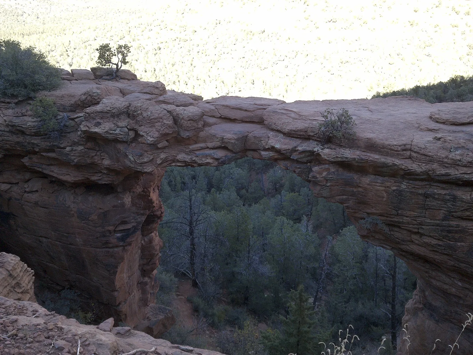
- Devils Bridge — Sedona’s iconic stone arch, also reached off the Dry Creek / Forest Road 152 side. Popular, so go early.
After the hike
When you come down off the mesa, you’re minutes from uptown Sedona. Grab a coffee at one of the coffee shops and cafes, refuel at one of our picks for breakfast and brunch, or wander the galleries and shops. And honestly, if your legs are toast from the climb but you’ve still got energy to burn, this is a perfect day to head back to the house and settle a friendly rivalry with a few games on the indoor pickleball court — climate-controlled, no afternoon sun, no waiting on a public court. If you haven’t sorted your stay yet, you can book the house and have your own court waiting after every hike.
Brins Mesa won’t give you a single postcard shot to caption. What it gives you is better: room to breathe, a real climb with a real reward, and a quiet front-row seat to the country above Sedona — fire-scarred, recovering, and wide open. Start early, carry water, and take your time at the top.
Frequently asked questions
Do I need a permit or pass for Brins Mesa Trail?
How hard is the Brins Mesa hike?
Which trailhead should I use for Brins Mesa?
Can I bring my dog on Brins Mesa Trail?
When is the best time to hike Brins Mesa?
Is Brins Mesa less crowded than other Sedona hikes?
Stay where you can rally any season
Sedona Pickler is a private West Sedona vacation home with its own indoor, climate-controlled pickleball court — a short drive from the trailheads, viewpoints and restaurants in this Sedona guide. Play at sunrise or after dark, in any weather.
Check availability on Airbnb